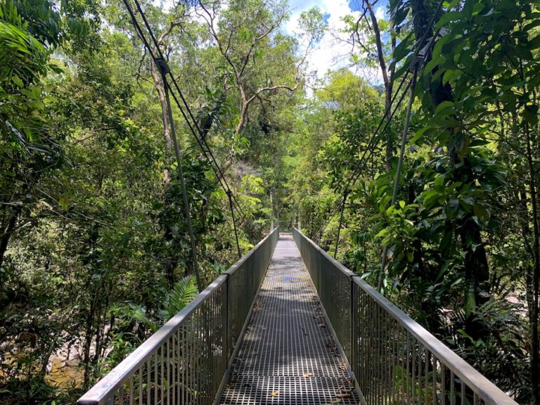
Hiking The Arrows Walking Track In Cairns, Australia
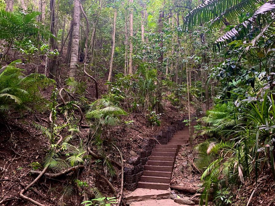
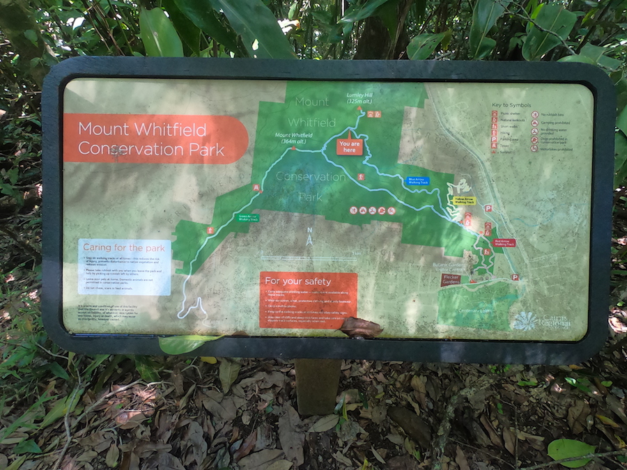
The Arrows are a series of 4 interconnecting hiking trails through the Mount Whitfield Conservation Park in the tropical town of Cairns, Australia. The park extends 300 hectares through the lush mountainous rainforest of the Australian tropics.
Difficulty: Moderate to Difficult
Length: 1.5 (shortest loop) to 12 km total
Suggested Duration: 0.5-7 hours
Signage: Trail markers and maps are located throughout
Facilities: Parking, washrooms, picnic areas, canteen, exhibits (at the botanical garden – Red Arrow entrance)
Disclaimer: This article includes affiliate links. If you click one of them, we may receive a small percentage of the sale at no extra cost to you. Thank you for your support!
The Arrows Hiking Trails
- Red Arrow (1.5 km)
- Yellow Arrow (1.9 km)
- Blue Arrow (6 km)
- Green Arrow (3 km)
Key Features Of The Arrows
- Located within Mount Whitfield Conservation Park
- Four interconnected hiking trails
- Three different access points/entrances
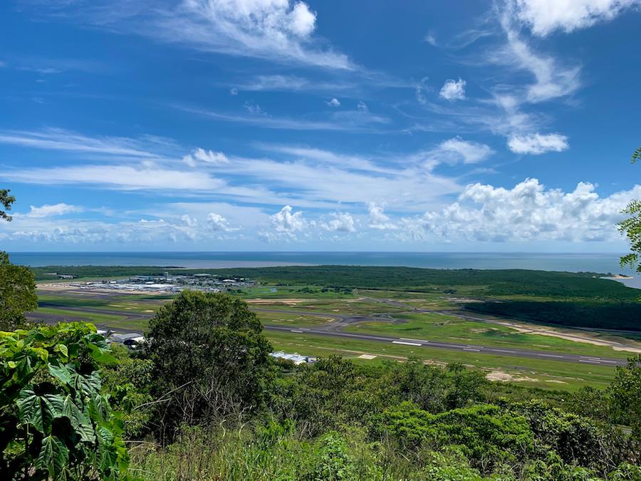
- Multiple lookoff points over the Cairns Airport
- High points at Lumley Hill (325m alt.) and Mount Whitfield (364m alt.)
- Historic World War II camp situated at, what is now, the Tanks Arts Centre
- Right next to the Cairns and Flecker Botanic Gardens as well as the Tanks Arts Centre
Facilities And Services
- Parking lots at three access points/entrances
- Maps and signage throughout
- Public washrooms and canteen in the Botanic Garden
- Lookoff points with covered picnic tables
Before You Start Hiking The Arrows
As always, we’ll list out a few things we feel you should know before embarking on your adventure through the Arrows at the Mount Whitfield Conservation Park.
Though there aren’t “operating hours” for hiking the Arrows, we’d suggest doing them early in the morning or during daylight hours. If you plan on hiking the Blue Arrow, we’d suggest beginning no later than 2 p.m. to avoid running out of daylight.
As expected in the Australian tropics, there is a great variety of flora and fauna in Mount Whitfield Conservation Park.
Eucalyptus trees are found throughout the trails, along with Chinese Fish Pole Bamboo and the dreaded ‘stinging trees.’ Be careful of what you touch while hiking through the Arrows!
As for animals, there are plenty of brush turkeys, monitor lizards, echidnas and wallabies.
It’s also important to note that because the hike takes place in the Daintree Rainforest above the Tropic of Capricorn, it is more than likely to be humid and hot. The wet season spans from December to April each year, and the sporadic and heavy downpours can lead to erosion, flooding, and other unsafe conditions.
The heat and humidity will play a major factor in any hikes through the Australian rainforest. Therefore, it’s advisable to bring a lot of water and use the rainforest canopy to your advantage to avoid overexposure to the hot Australian sun.
The Arrows are in a national park, so, unfortunately, these trails are not dog-friendly trails.
Our Experience Hiking The Arrows
We spent about two months in Cairns during our extended visit to Australia and became well-acquainted with the Arrows, which happened to be only a short bike ride away from our shared house.
It was a quick cardio workout to bike to the entrance of the Red Arrow, hike the 1.5 km and bike back. During the rainy season, this was often enough exertion in the tropical heat!
While in Cairns, we also decided it was time to purchase our very first GoPro! Though filming a full hike with the GoPro proved to be fairly challenging, I was able to get the entirety of the Red Arrow in one [relatively] smooth recording. Here is the timelapse video from that hike:
Unfortunately, we didn’t get the other Arrows on video before leaving Cairns.
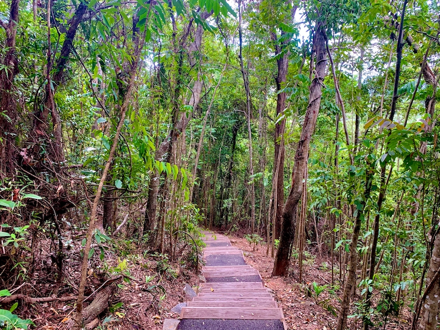
As you can see from the video, the Red Arrow is very well-groomed and has plenty of stairs to climb, regardless of whether you choose to go clockwise or counter-clockwise around the loops. By the same token, there are also plenty of stairs on the descent.
The Red Arrows proved to be just challenging enough for a quick cardio circuit. It’s also a popular entrance point (and a great warm-up) for the main hiking attraction: the Blue Arrow.
Though we had done the Red Arrow plenty of times, we only took on the more challenging Blue Arrow once. We had also completed the Yellow and Green Arrows trails on separate occasions.
We recommend starting at the Red Arrow to Blue Arrow circuit for an incredible 7.5 km loop through Mount Whitfield Conservation Park.
Let’s talk about our experience with this circuit.
We started early in the morning, about an hour after sunrise. It was the rainy season, meaning the temperature reached the mid-high 30s (celsius) with the additional heat from the humidity. We planned to get in and get out before the mid-day heat.
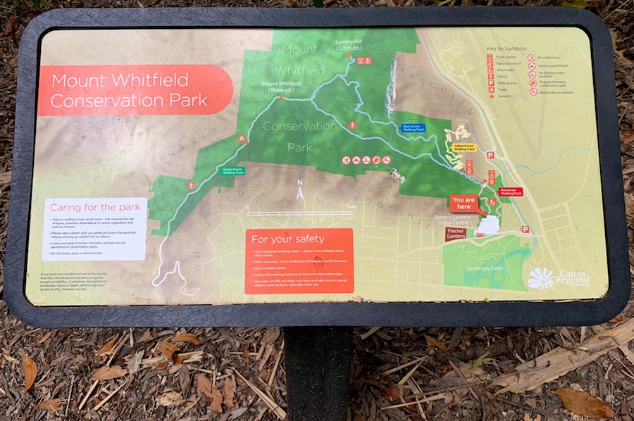
With 8 litres of water in our bags, we biked to the entrance of the Red Arrow, applied our 80% DEET insect repellent, and were off to the Arrows.
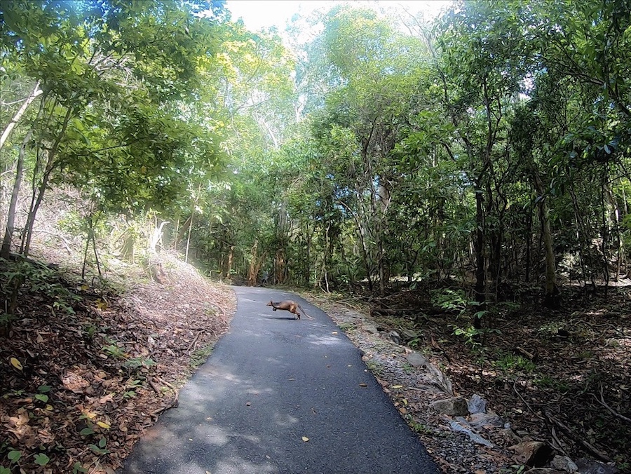
Maybe 5 minutes into the hike, we saw our very first Dwarf Wallaby! We’re off to an exciting start for us Canadians.
After climbing all the stairs of the Red Arrow, we were sufficiently warmed up.
The Red Arrow provides a great number of stairs and a climb to get warmed up. The trail is wider, and there is more sun exposure. We were well warmed up before reaching the Blue Arrow.
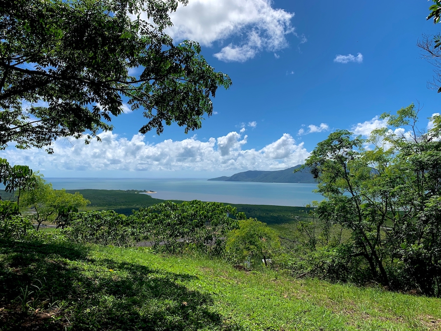
There is a nice look-off point at the top of the Red Arrow track to stop and rest while looking out toward the Cairns airport. After a brief repose under the sheltered picnic table, we went off to the nearby mouth of the Blue Arrow.
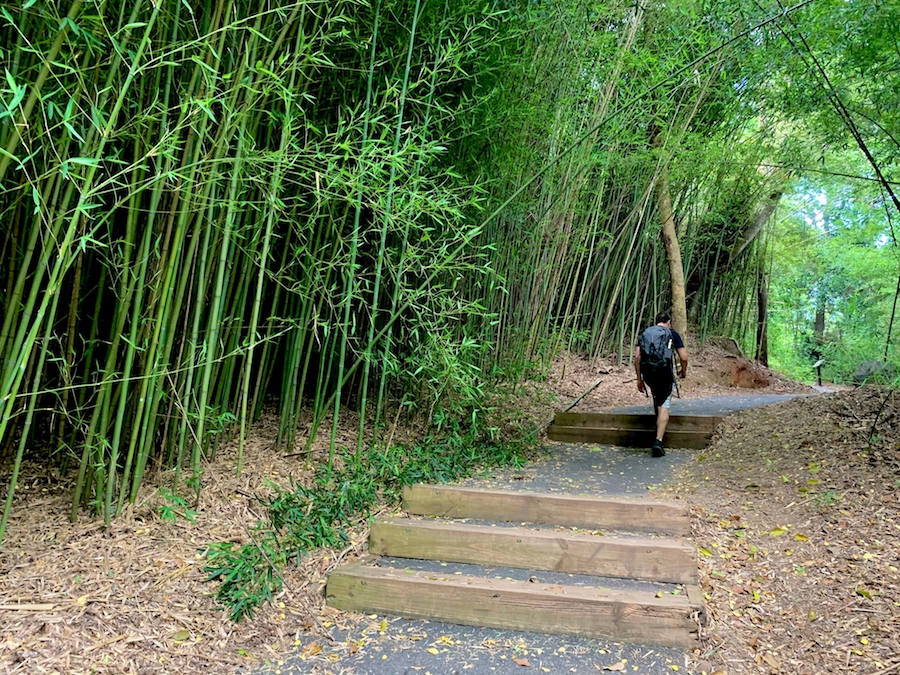
The Blue Arrow is where things get interesting. The trail is still well-defined but much more narrow and features backcountry terrain.
The beginning of the Blue Arrow is well-groomed and relatively flat. It connects not only to the Red Arrow but also to the Yellow Arrow, around 500 meters apart.
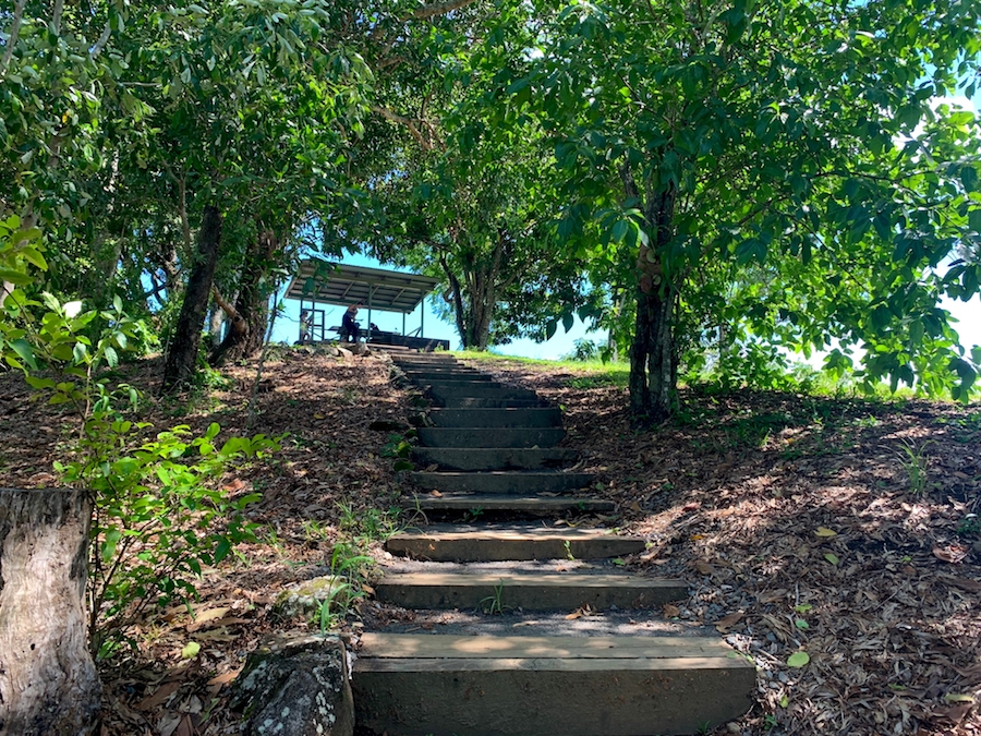
The Yellow Arrow is the newest hiking trail of the four. Like the Red Arrows, the trail is wide and obstacle-free and climbs the mountainside. It is very windy and features plenty of stairs. The track is accessed at Aeroglen Drive adjacent to the Aeroglen dog off-leash area.
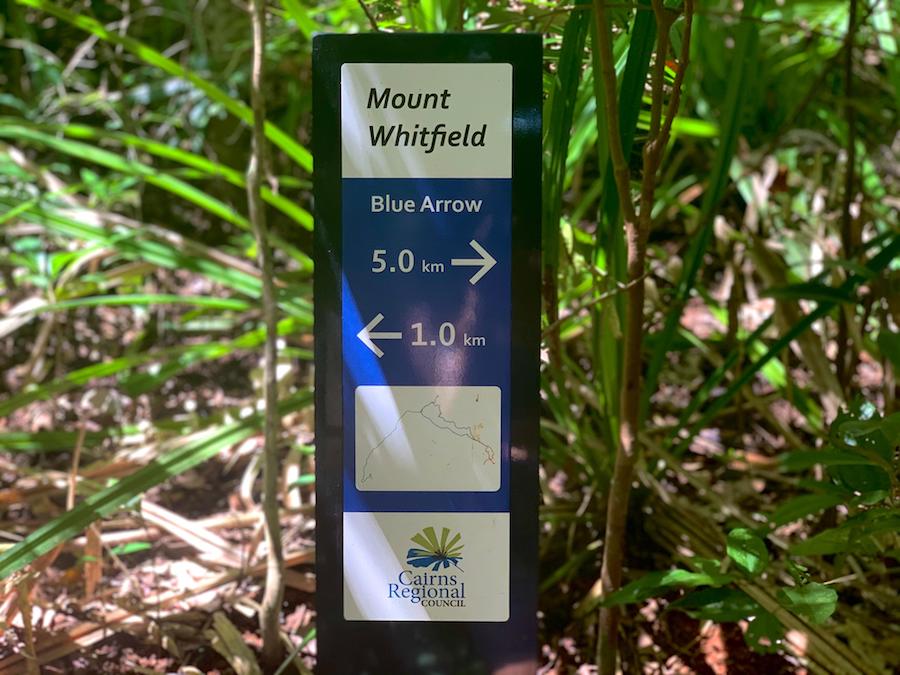
Once on the Blue Arrow, much of the noise from outside the park fades away (except for any airplanes passing by). It makes for a peaceful walk through the dense rainforest.
The canopy provides ample shade from the hot sun, and we were glad to be out of the direct sunlight by this point in the day. It’s much easier to hike in when it’s [relatively’ cool. We wonder how nice the trail would be in the winter months.
The terrain is certainly backcountry and was fun to traverse. Though there are definitely inclines and declines, the Red Arrow had the bulk of the accession.
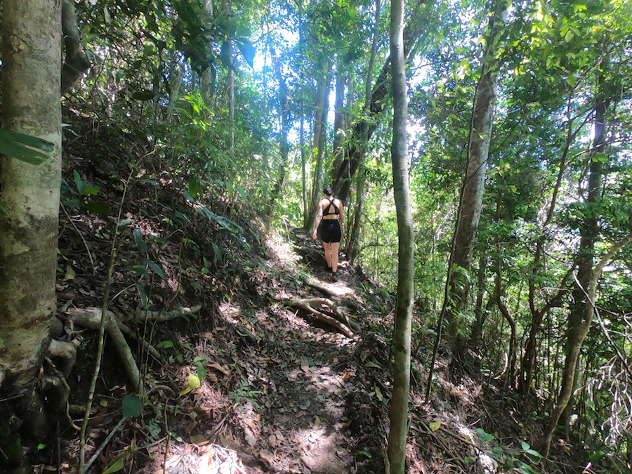
We love hiking through the backcountry. As we made our way through the Blue Arrow, there was also a distinct path, though reasonably rugged. Signage helped us out at many points where the track was indistinct.
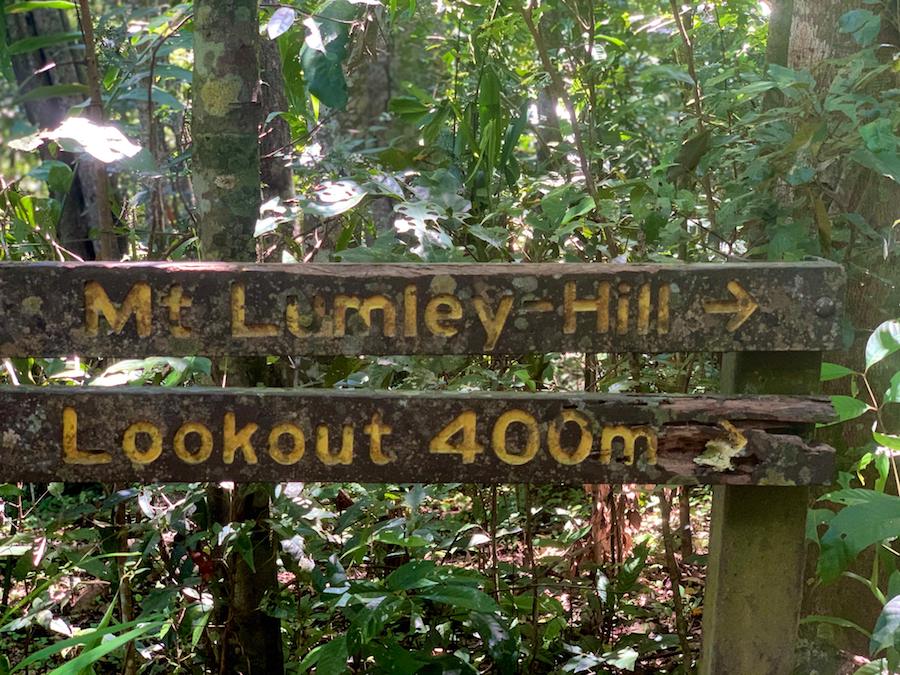
Before long, we reached the breakaway point to reach the Lumley Hill lookoff point. We hiked up the incline to take a break and take in the views of the Airport and ocean.
On our way back down to the main trail, we were sure to evade any plants.
Continuing on, we passed the connecting point between the Blue Arrow and the Green Arrow.
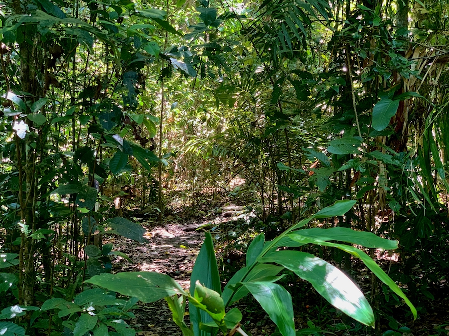
The Green Arrow offers a great backcountry hiking experience that closely resembles the Blue Arrow. The trail is less physically demanding in terms of inclines and declines but more difficult in backcountry obstructions. Of course, the trail is well-defined and marked appropriately!
Our way back through the rest of the Blue Arrow was enjoyable. We stopped to check out some spiders at a safe distance and were very cautious about the plants around us.
Before long, we were back to the Red Arrow. Then it was down the long series of steps, back on the bicycles, and back to the shared house for some much-needed air conditioning!
Checklists And Recommended Gear
- Water bottle
- Hiking shoes – Women’s // Men’s
- Camera/Phone
- Sunscreen
- Insect repellent (spray or cream with a high percentage of DEET)
- Hiking poles
- Snacks or lunch

