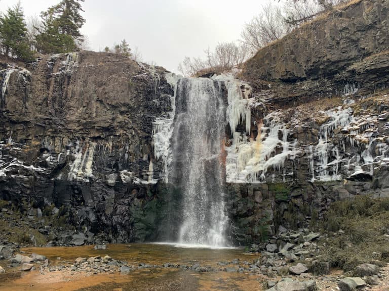
Hiking To Pabineau Falls In New Brunswick
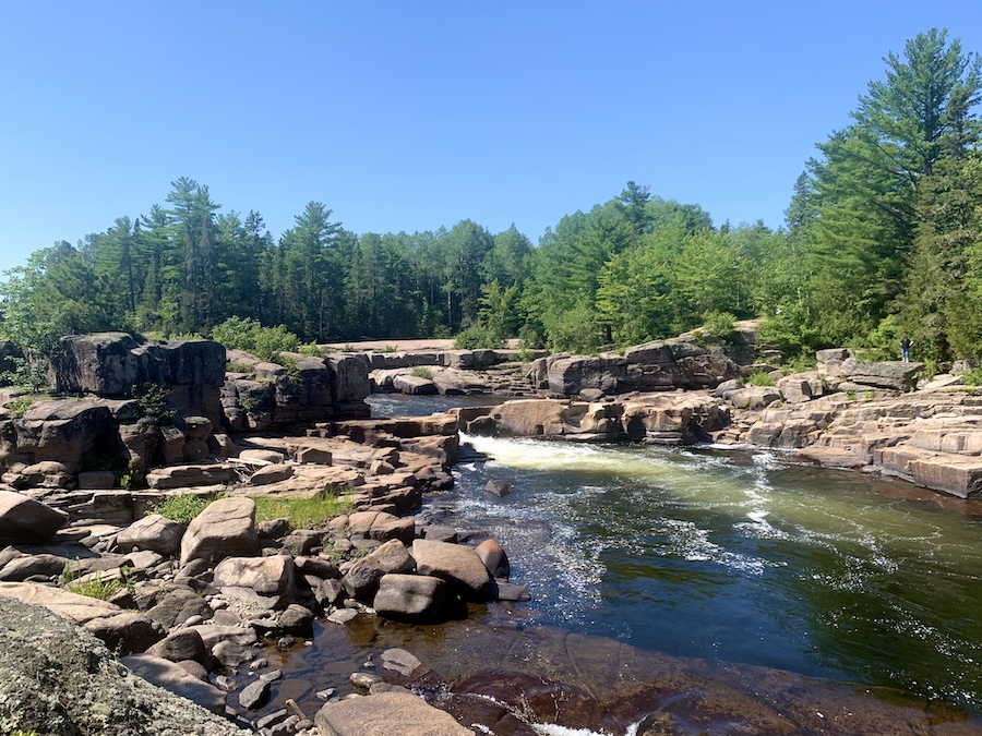
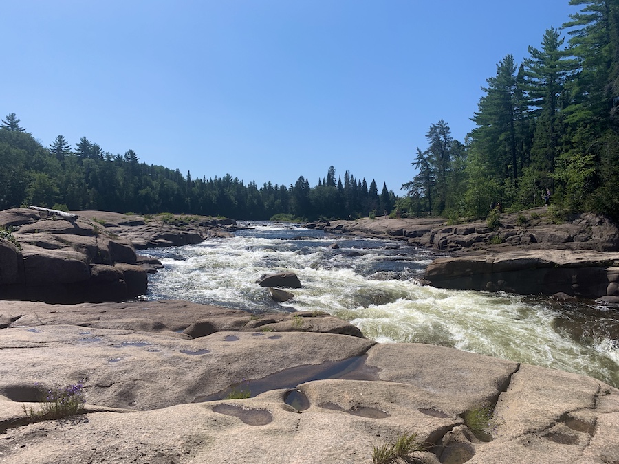
Pabineau Falls is a relatively popular waterfall of the Nepisiguit River near Bathurst, New Brunswick. Though visitors may reach the falls directly by vehicle via Pabineau Falls Road on the west side of the river, there is a portion of the Nepisiguit Mi’gmaq Trail that hikers can take to the falls on the east side of the river.
In this article, we’ll be discussing the Nepisiguit Mi’gmaq Trail portion, which is accessible via the Gloucester Junction Road. This 5.6 km in-and-out portion of the trail is a fun and relatively easy hike along the beautiful Nepisiguit River through the Acadian Forest.
Difficulty: Easy
Length: 5.6 km (out and back)
Suggested Duration: 1.5 – 2 hours
Signage: Map at the trailhead, trail markers throughout
Facilities: Small parking lot
Disclaimer: This article includes affiliate links. If you click one of them, we may receive a small percentage of the sale at no extra cost to you. Thank you for your support!
Key Features Of Pabineau Falls
- Located near the village of Pabineau, New Brunswick
- A picturesque waterfall and natural attraction
- Features a series of cascades along the Pabineau River
- Accessible via a short walk from the parking area
- Scenic river views and forested surroundings
- A great place for a peaceful day trip and outdoor relaxation
- Part of a the Sentier Nepisiguit Mi’gmaq Trail
Facilities And Services
- Parking lot
- Campsites and warming shelters for those completing the Sentier Nepisiguit Mi’gmaq Trail ——reservations needed prior to hiking for overnight stays
Before You Start Hiking Pabineau Falls
There are a few ways to reach Pabineau Falls. The first is from Pabineau Falls Road. This is not a hike, though it offers access to one side of Pabineau Falls. To get to the other side (and the 5.6-kilometre hike), you will need to go to the trailhead located on Gloucester Junction Road.
The last option is to visit Pabineau Falls by completing the Sentier Nepisiguit Mi’gmaq Trail. This is a thru-hiking trail that can take anywhere from 6 to 12 days to complete, depending on your abilities, the weather and trail conditions. The Sentier Nepisiguit Mi’gmaq Trail begins at Daily Point in Bathurst and takes hikers all the way to Mount Carleton (click here to view our experience hiking Mt. Carleton).
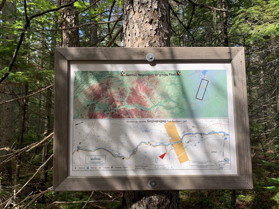
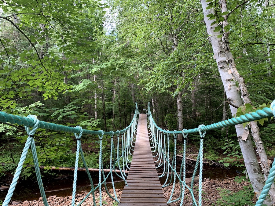
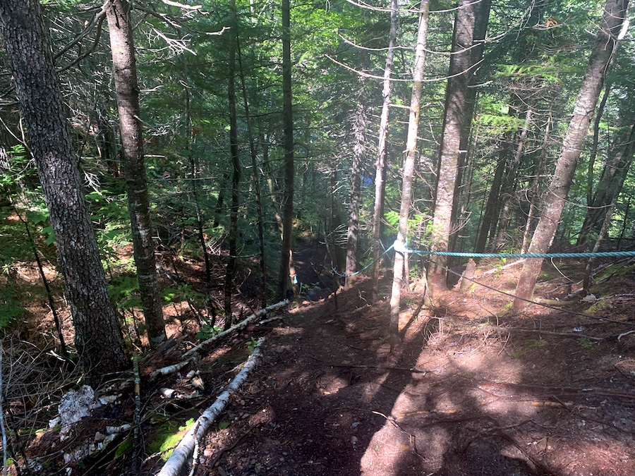
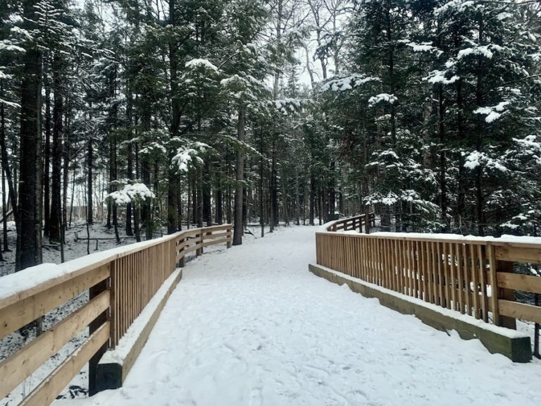
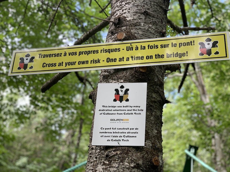
The trail itself is easy to follow, well-defined and has many trail markers. There are bridges throughout, including a bridge at the beginning to help hikers cross the river. Only one person should cross the bridge at a time. In addition, there is one short yet moderately steep descent that features ropes to assist hikers.
It is important for hikers to stay on the designated paths and bridges to help protect fragile vegetation and avoid ticks. We suggest having a tick removal tool on you in case you encounter any ticks.
Lastly, be sure to leave no trace behind. Take all food and waste with you, and do not feed the wildlife.
Our Experience Hiking Pabineau Falls
Our experience hiking to Pabineau Falls along the Nepisiguit Mi’gmaq Trail came after a brief vacation in Northern New Brunswick. On our way home to Nova Scotia, we decided to stretch our legs and complete a hike we had heard so much about.
We plugged in the All Trails coordinate and drove the first road of Gloucester Junction Road until we came across a small parking lot big enough for 5-6 vehicles. We were at the “Pabineau Falls Trail” trailhead portion of the Nepisiguit Mi’gmaq Trail.
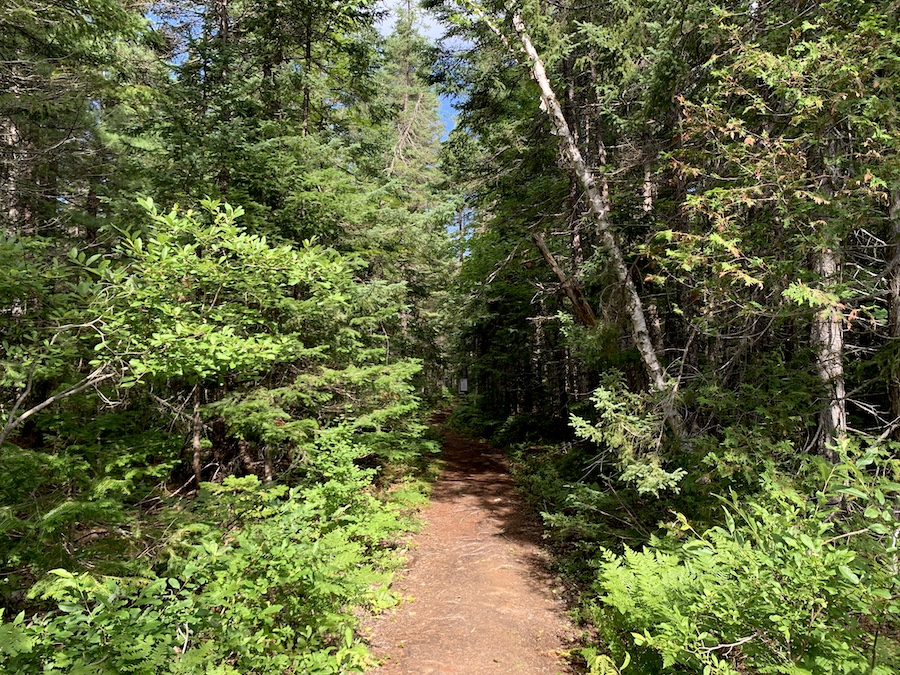
We actually lost cell phone service in this area and didn’t record our trip on the All Trail app. That being said, the trail is marked incredibly well, and it’s easy to stay on the right path. Look for the turtle as a marker for the trail.
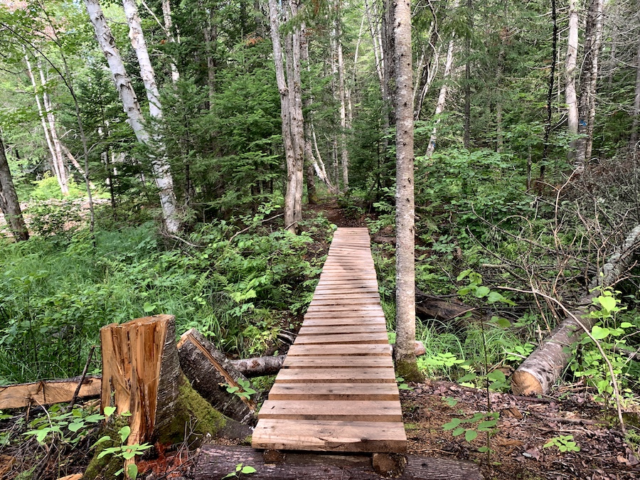
The Nepisiguit Mi’gmaq Trail is a fantastic 141-kilometre trail that is well-maintained and features excellent backcountry structures such as bridges, boardwalks and ropes.
The “Pabineau Falls” portion of the trail contains all three of these man-made aids, giving the hike some extra interest. Below are a few pictures we took:
Before long, the well-groomed trail reached the Nepisiguit River and veered left to follow it southward.
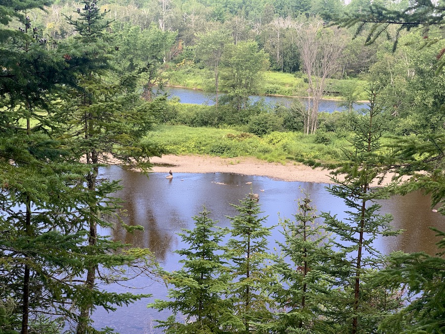
Much of the riverside trail is a significant elevation above the river but offers beautiful sights. There are plenty of trees but ample opportunities to catch a glimpse of the river below.
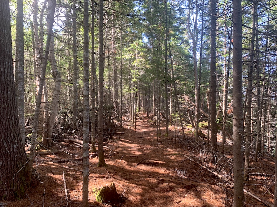
We even spotted a hawk on the river and watched it for a moment before it took flight. We would see many more birds before the hike would be finished.
Continuing onward, the terrain remained relatively easy without great differences in elevation. We passed a warming shelter, of which there are several along the Nepisiguit Mi’gmaq Trail.
As we got closer to the destination of the waterfall, we reached the inevitable point where we would descend to the river level. There are sturdy ropes in place to help hikes get down and back up. One at a time, we made our way down to river level.
Once we descended the steep hillside and reached the water, we would cross a small waterway and walk a little further to Pabineau Falls.
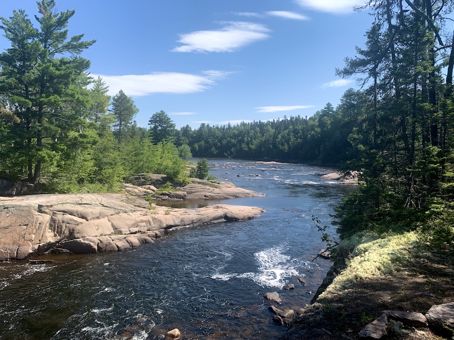
Being our first time there, we were a bit surprised to see that we were on the opposite side of where most pictures of the falls were taken. We quickly realized that the opposite side of the river had a parking lot for easy access to the falls. There were not any noticeable paths to cross the Nepisiguit River safely, so we took in the views from the west side.
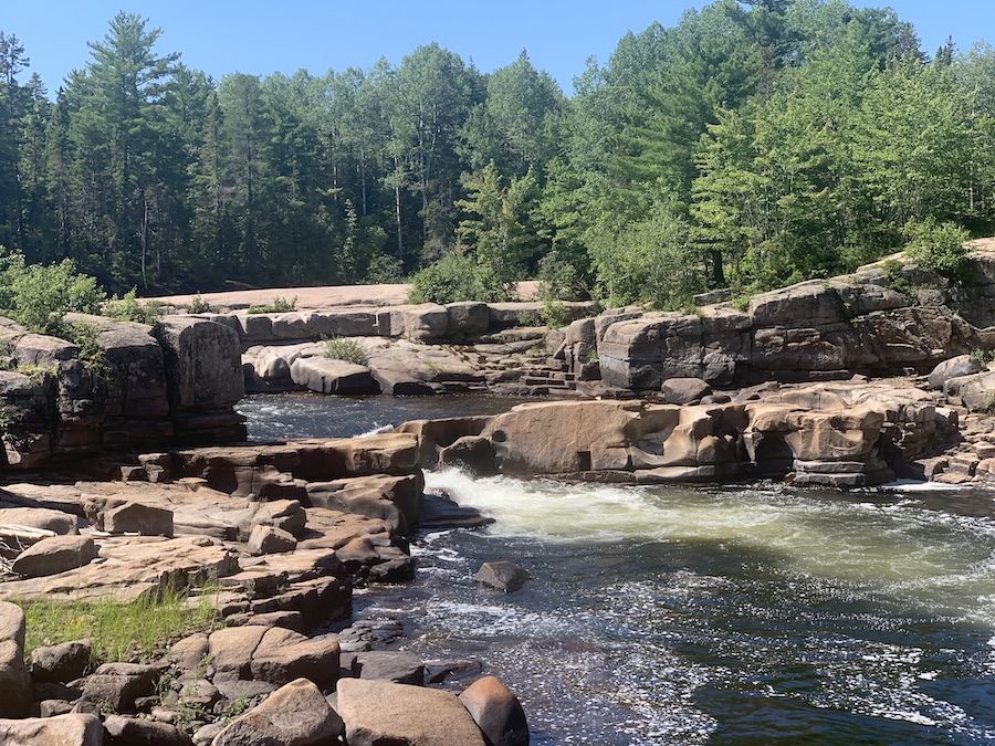
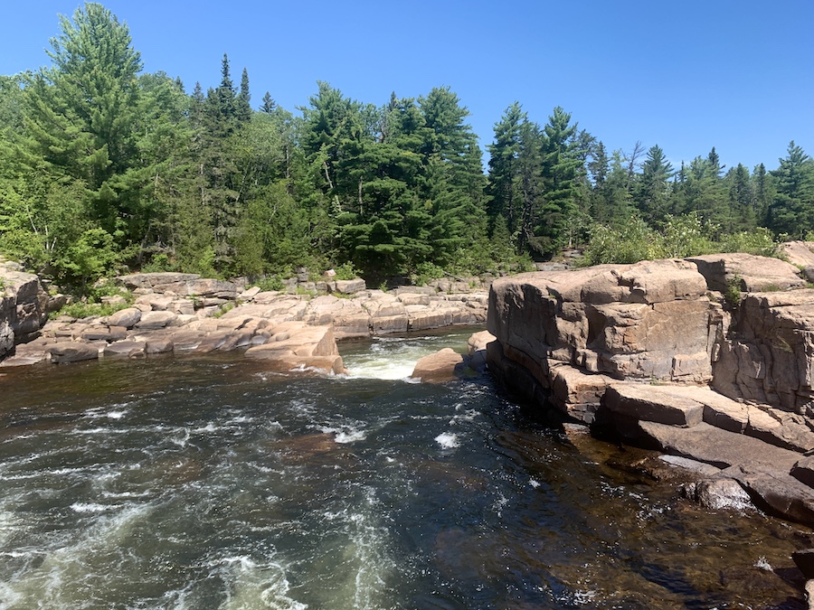
Here are a few pictures from around Pabineau Falls:
After admiring the natural beauty of Pabineau Falls and the Nepisiguit River and drinking a good amount of water, we made our way back. We climbed the hills using the ropes, saw a few more birds, crossed the bridge pictured above, and got back to our car with another excellent New Brunswick hike to write about! From there, it was back to Nova Scotia to end our vacation.
Checklists And Recommended Gear
The following is our recommended gear list for Pabineau Falls.
- Water bottle
- Hiking Shoes – Women’s // Men’s
- Camera/Phone to take photos
- Sunscreen
- Hat
- Insect repellent
- Cascade hiking poles
- Atlantick tick removal tool kit
Related Hikes
- Sentier Nepisiguit Mi’gmaq Trail
- Daly Point Nature Reserve
- Youghall Trail

