Hiking Le Chemin Du Buttereau Trail In Cape Breton
Le Chemin du Buttereau are two connected hiking trails just off the Cabot Trail within the Cape Breton Highlands National Park. The trails offer a relatively small amount of elevation gain near sea level and connect two parking lots along the Cabot Trail.
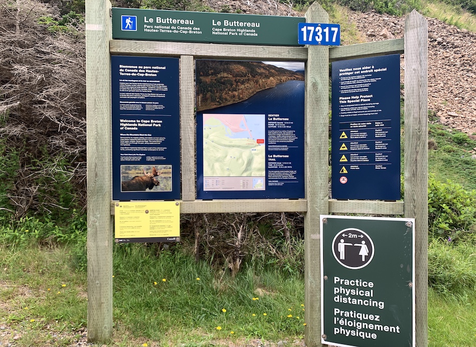
As part of the Cape Breton Highlands National Park, the trails are well-maintained, with extensive signage, including interactive boards. Lookoffs offer views of where the Chéticamp River meets the Gulf of St. Lawrence, and Le Chemin du Buttereau takes hikers along a historic cart path formally used by Acadian Pioneers.
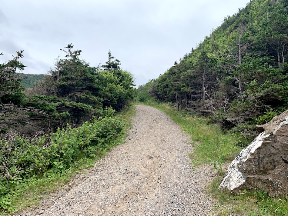
The trail is wide with relatively easy terrain, making it a great choice for non-technical hikers and those interested in a short climb to stretch their legs and get their hearts pumping while travelling along the Cabot Trail.
Length: Le Buttereau 1.6 km (loop) // Le Chemin du Buttereau 4.6 km (return)
Difficulty: Easy
Suggested Duration: 30 minutes to 1.5 hours
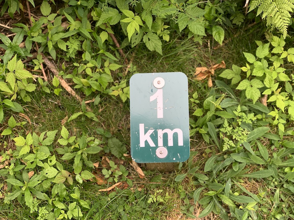
Signage: Maps and kilometre markers throughout
Facilities: Parking and benches
Disclaimer: This article includes affiliate links. If you click one of them, we may receive a small percentage of the sale at no extra cost to you. Thank you for your support!
Key Features Of Le Chemin Du Buttereau
- Views of the Chéticamp River and the Gulf of St. Lawrence
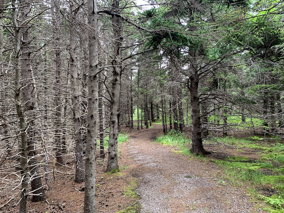
- Hik along a well-groomed trail through the Acadian forest
- Old cart path formally used by Acadian pioneers
- Remains of foundations alongside the trail
Facilities And Services
- Two parking lots (one at either end of Le Chemin du Buttereau)
- Benches
Before You Start Hiking Le Chemin Du Buttereau
There are a few things to note before you begin hiking Le Buttereau et Le Chemin du Buttereau to help make the most out of your trip.
First things first. While the two trails are connected, you do not need to complete both of them. If you are seeking a shorter hike, the Le Buttereau is easy, relatively short (1.6 km) and offers breathtaking views of the Chéticamp River and the Gulf of St. Lawrence.
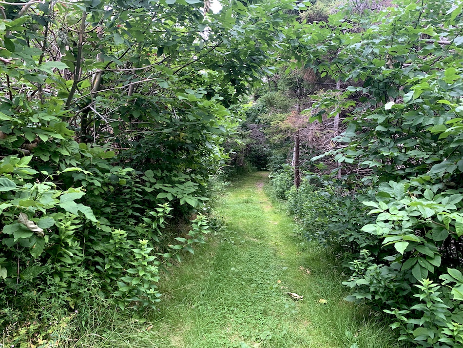
In contrast, Le Chemin du Buttereau is the longest of the two hikes (4.6 km) and follows through the Acadian Forest. From the Le Buttereau entrance, this trail will take hikers through 1 kilometre of Acadian Le Beutteraeu family history, offering views of ruin remains. Past this, there is nothing else to see but the forest itself, and it makes for a great dog walking trail or gentle hike to stretch your legs after a long drive on the Cabot Trail.
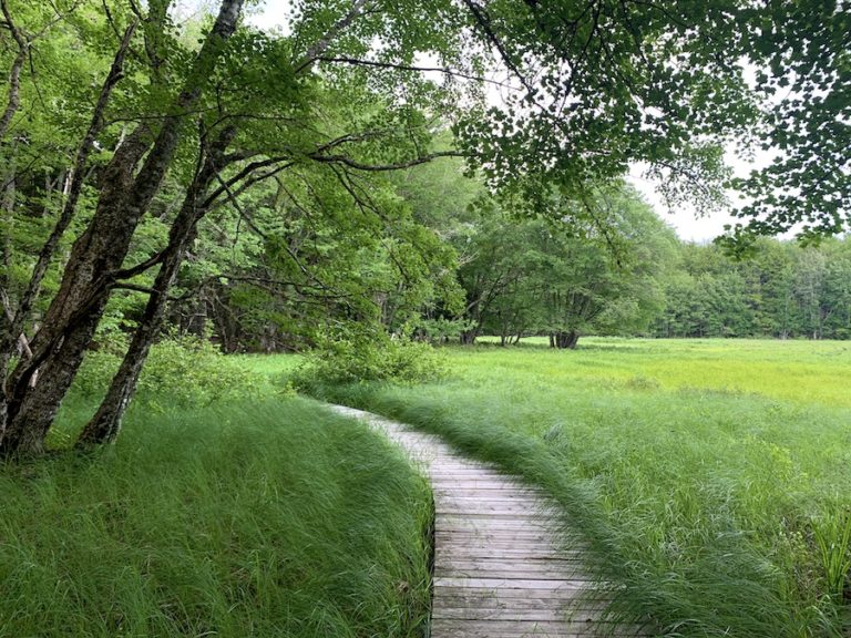
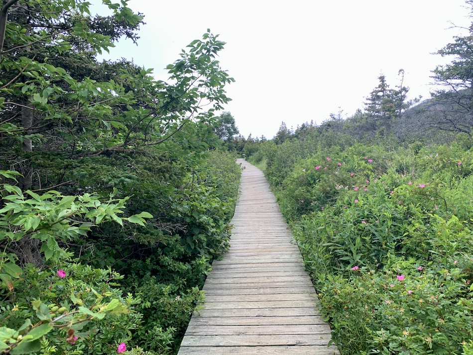
The hike itself is quite easy, and the only real challenge is the ascend at the trailhead at Le Buttereau. Once past this, the terrain is relatively flat grass or crushed dirt terrain with the occasional boardwalk.
Both trails are well-marked and groomed. Hikers will find kilometre markers (pictured below for reference) along the trail. On the Le Butterear trail, there are numerous information signs to provide a bit of Acadian history.
There is little to no sun coverage on this hike. Therefore, sunscreen and a sunhat are highly encouraged.
It is important to be aware of your surroundings and keep an eye out for wildlife whenever you are out in nature. If you do run into wildlife on the trails, be sure to keep a safe distance away and do not feed them. To learn more about wildlife safety in Atlantic Canada, check out our article Wildlife Safety While Hiking In Atlantic Canada.
Lastly, this hike is quite buggy. We suggest bringing insect repellent and a tick removal tool. While we did not find any ticks on us after this hike, there is an increased likeliness as most of the trail is on grassy terrain. Remember to check yourself and your pets before you get into your cars. To learn more about tick prevention, check out our article How To Avoid Ticks When Hiking.
Our Experience Hiking Le Chemin Du Buttereau
Our experience hiking Le Chemin Du Buttereau came in mid-July during a short vacation to Cape Breton. We had completed the MacIntosh Brook Trail earlier in the day and had just had lunch in Chéticamp. Looking for relatively easy trails in the area, we decided to tackle Le Buttereau et Le Chemin du Buttereau before making our way back home.
So we parked at the north parking lot, laced up, and got going.
We initially climbed Le Buttereau and kept to the east side of the loop (through the forest). The first ascent would prove to be the most difficult part of the hike.
Interested to see what the entire hike had to offer, we continued from the “Le Buttereau” loop to the “Le Chemin du Buttereau” in-and-out trail.
If completing the Le Buttereau Trail, you can begin either clockwise or counterclockwise. For those taking the Le Chemin du Buttereau, continue on the left-hand side.
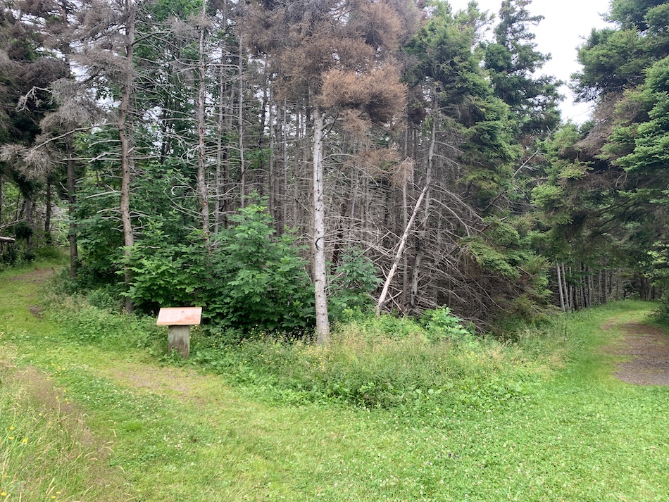
This trail was relatively uneventful, with a wide, grassy terrain that was easy to hike. It was, however, interesting to see the ruins of what were once houses of Acadian settlers in the area. How different times must have been back then!
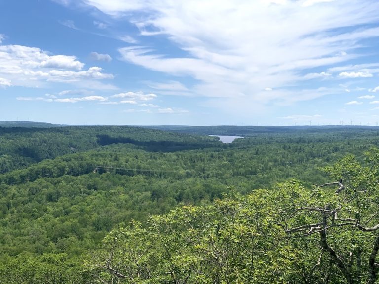
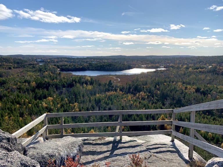
So, the trail was great for a bit of gentle hiking but largely uneventful. The look-offs would come on our way back when we completed the rest of Le Buttereau Trail’s loop on the west side toward the ocean.
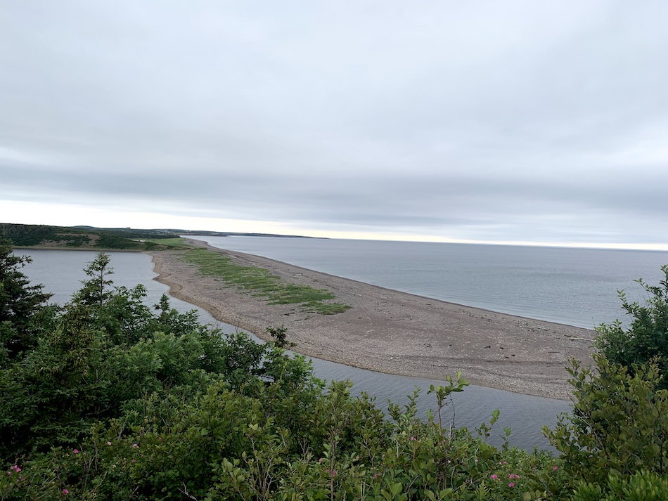
Here are photos from the more exciting part of the trail loop. Le Buttereau loop featured two separate look-offs of the Chéticamp River and the Gulf of St. Lawrence.
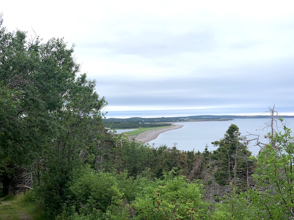
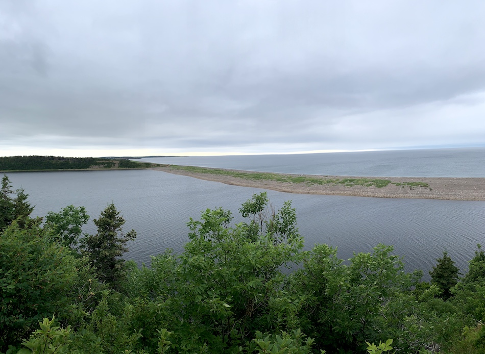
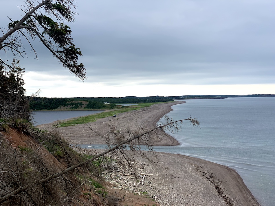
The loop part of the trail offers the views, though the in-and-out portion does give some added length to the hike. We appreciated our time in nature, took in the views, and made our way back to our car with another Nova Scotian hike completed!
Checklists And Recommended Gear
The following is our recommended gear for Le Chemin Du Buttereau.
- Water bottle
- Hiking Shoes – Women’s // Men’s
- Camera/Phone to take photos
- Sunscreen
- Hat
- Insect repellent
- Cascade hiking poles
- Atlantick tick removal tool kit