Hiking Moses Mountain Trail In Nova Scotia
Moses Mountain is a short but challenging hike that offers 200 meters (656 feet) of elevation gain near Mill Section, Nova Scotia. Much of the trail is along a resource road, while the bulk of the climb is through the woods.
The trail presents hikers with two look-offs: the first, lower look-off facing South-East and the second, higher look-off facing North-West. The wooded portion of the trail is well-marked and offers great technical terrain with notable elevation.
Difficulty: Easy to Moderate
Length: 3.7km (out and back)
Suggested Duration: 1 1/2 to 2 hours
Signage: Markers throughout
Facilities: Parking area before the gate
Disclaimer: This article includes affiliate links. If you click one of them, we may receive a small percentage of the sale at no extra cost to you. Thank you for your support!
Key Features Of Moses Mountain
- Passes through a mix of forested sections and rocky terrain
- Opportunities for birdwatching and wildlife sightings
- A great spot for a relatively short but rewarding hike
- Dog friendly (on a leash)
- Passes Avon River
Facilities And Services
- Parking lot
Before You Start Hiking Moses Mountain
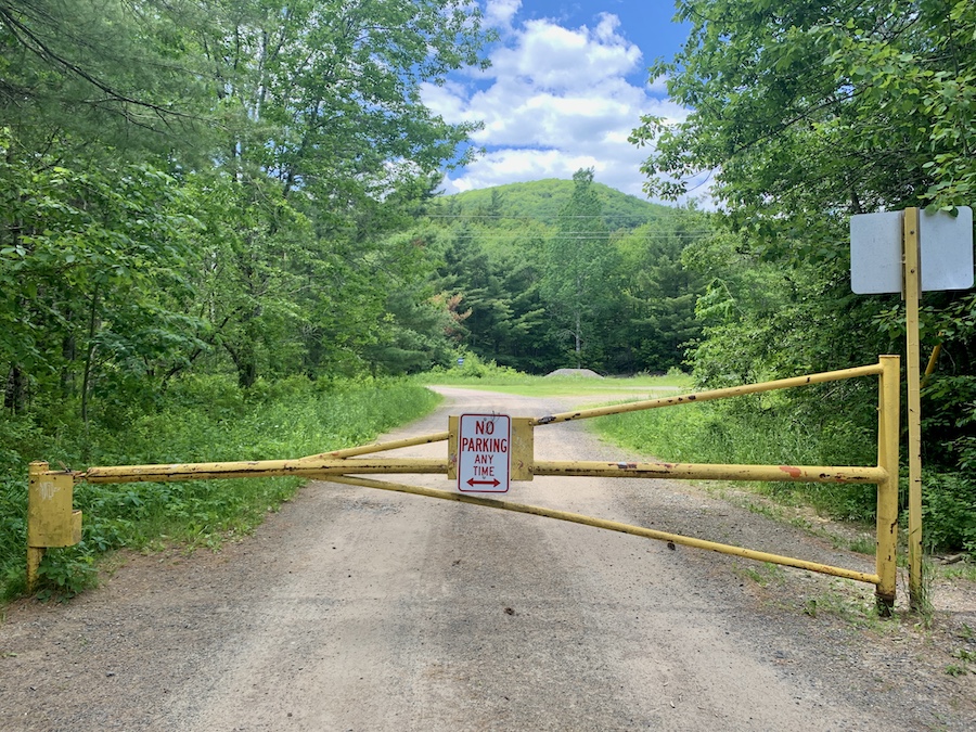
The hike to Moses Mountain begins at the end of Moses Mountain Road, where you will find a gate (pictured below). Located to the right is a small parking lot. Please do not park in front of the gate.
There are no trail markers until you reach the backcountry portions of this hike. To get to the trailhead, follow the road past the gate. Once you reach a fork in the road, head right and follow this trail until you cross over the bridge at Avon River. From here, you will approach another fork in the road, in which you will take a left and begin ascending.
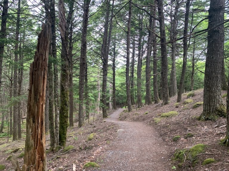
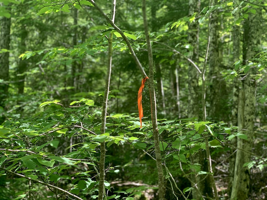
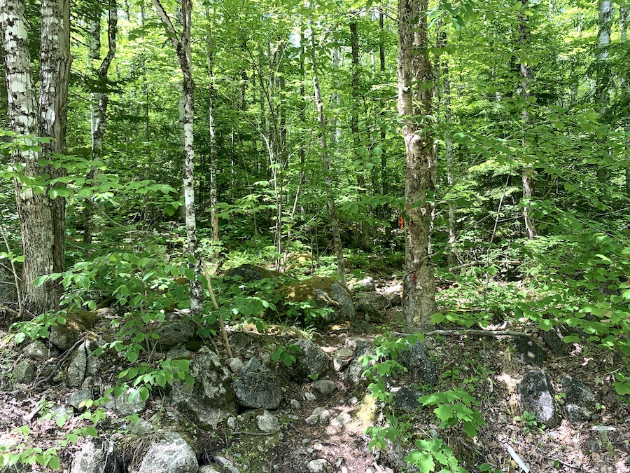
The trailhead is roughly 800 metres beyond this point on the righthand side, indicating the beginning of the backcountry ascension. This section of the hike features numerous trail markers (pictured below), making it easy to navigate.
The first half of the trail does not offer much sun coverage. We suggest bringing SPF as well as a sunhat. In addition, once you reach the backcountry trail, it can be quite buggy. Be sure to pack insect repellent and a tick removal tool. To learn more about tick prevention, check out our article How To Avoid Ticks When Hiking.
Whenever you are out in nature, make sure always to follow leave no trace policies. Take in what you take out, and do not leave garbage behind.
Our Experience Hiking Moses Mountain
Our experience hiking up Moses Mountain came after completing the Meander River Falls Trail earlier in the day. It was a perfect day for hiking in early June. The sun was shining, and the weather was warm.
After parking beside the gate, we laced up and made our way toward the trailhead. We checked the map in advance to ensure we would be hiking in the right direction.
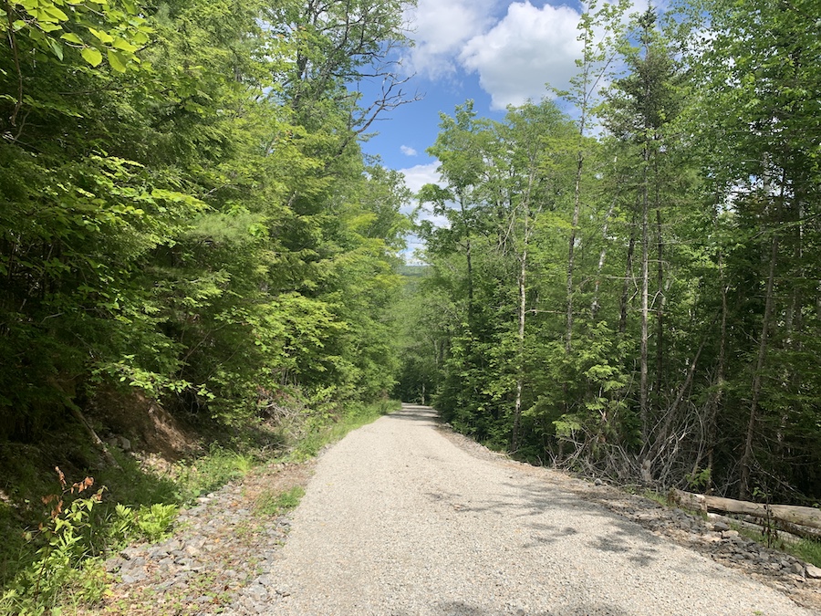
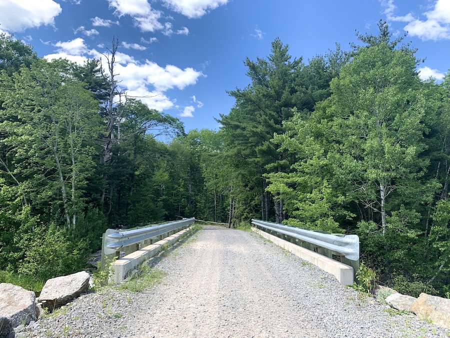
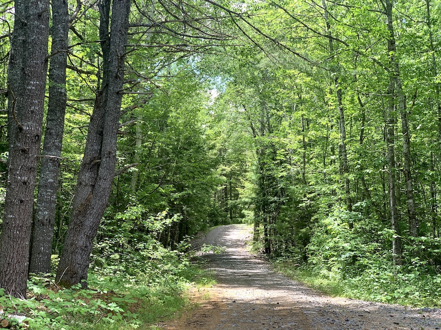
Before making it to the wooded portion of the trail, we hiked roughly one kilometre along one part of an interconnected series of roads. We took a right just after the gate, crossed a bridge, and turned left. Past the bridge, the road started the incline that would culminate the peak of Moses Mountain.
Here are a few pictures from the road portion of the hike:
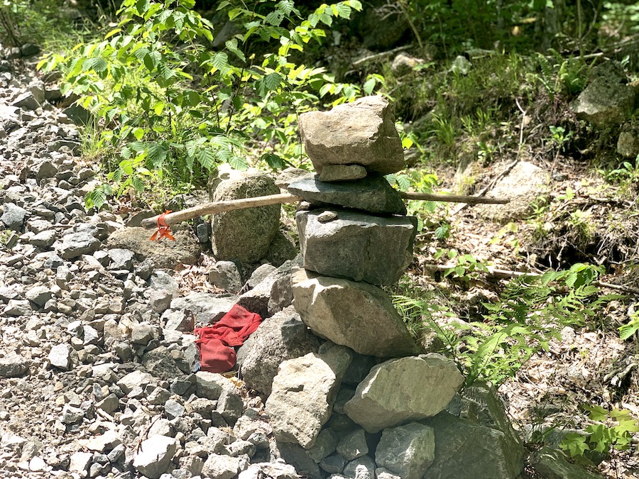
Though we had the All Trails map at the ready, we had a general idea of where the wooded trailhead would be on the right side of the road. As we approached, we saw a rock formation with a red marker. Sure enough, the trailhead was in the immediate vicinity.
This is where the more technical portion of the hike began. The incline was fairly steady, similar to the average slope of the previous half-kilometre.
Once in the woods, we enjoyed the newfound shade the trees offered.
Though the trail is relatively narrow, it’s marked very well. There’s no bushwacking per se, though some tree branches have to be moved aside along the path.
This hike is a great little workout. We maintained a medium pace up the incline, consciously remaining in the “orange zone” of our heart rates.
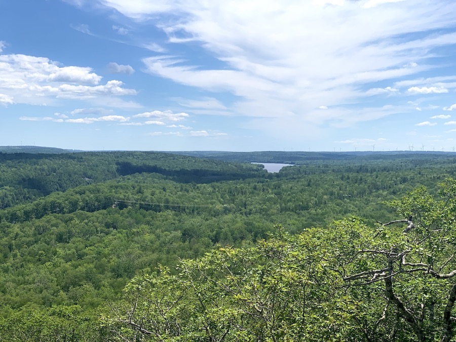
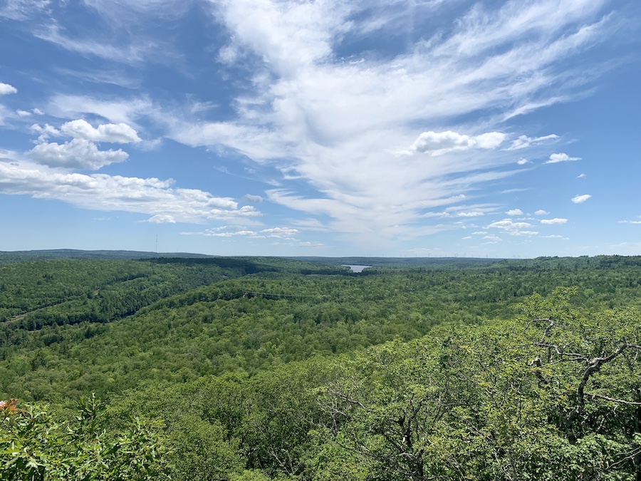
At this pace, it wouldn’t take long before we reached the first look-off. This look-off offers an arguably better view of the two, even though the second look-off is higher. Here’s a picture from this part of the hike:
We didn’t stay for too long at the look-off point. There was more hiking to do, and the sun was notably strong in the early afternoon.
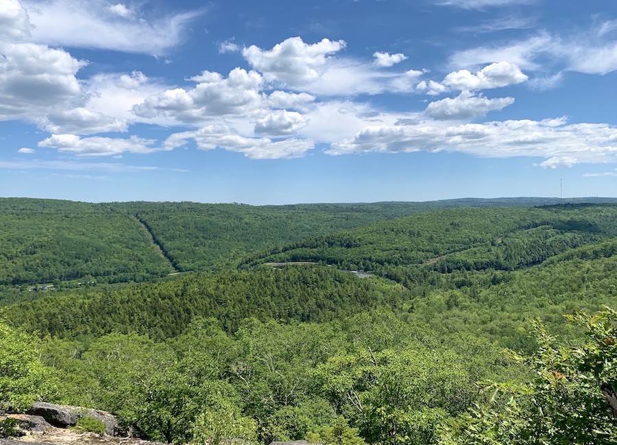
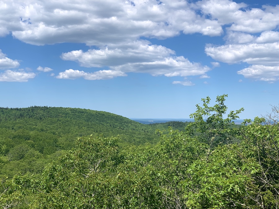
The first look-off is about two-thirds of the way up. It didn’t take long to reach the second. Before long, we reached the top! Here’s a picture from the top look-off of Moses Mountain:
The hike back down was relatively quick, as you could imagine. Since the trail was quite short, we did not have any issues with knee pain from repetitive stress.
We swiftly made it back down to where we had parked and made our way back home with another hike to share with you all.
Checklists And Recommended Gear
- Water bottle
- Hiking Shoes – Women’s // Men’s
- Camera/Phone to take photos
- Sunscreen
- Hat
- Insect repellent
- Cascade hiking poles
- Atlantick tick removal tool kit
Related Hikes
Other Mountain Hikes In Nova Scotia
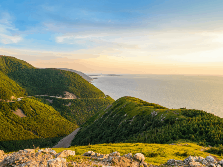
- Franey Mountain (Cape Breton Highlands)
- Salt Mountain Trail (Whycocomagh)
- Keppoch Mountain (Antigonish)