Franey Mountain Hike, Cape Breton
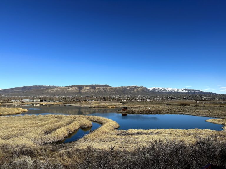
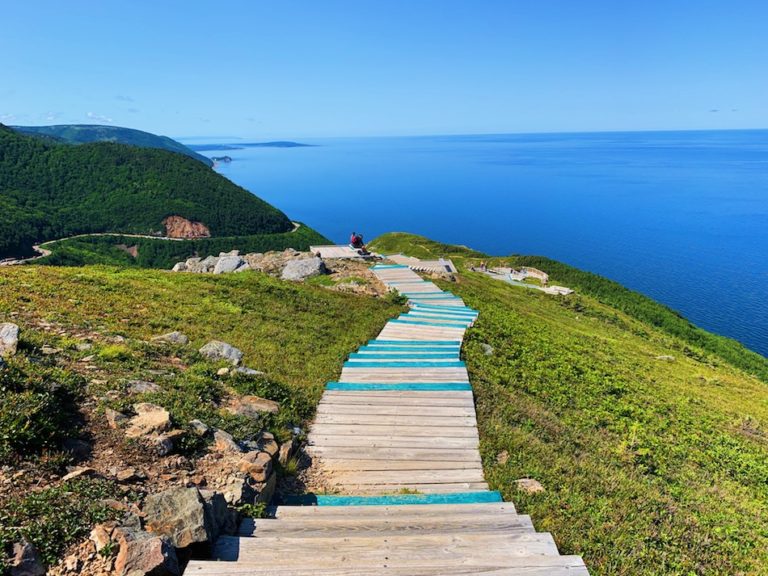
Franey Mountain is a well-known hike in the Cape Breton Highlands National Park. Standing tall at 430 metres (1,410 feet), Franey Mountain is the highest point of the massif located between Dundas Brook and Clyburn Brook. The main lookout points along the trail offer stunning views of Clyburn Brook Canyon and the Atlantic coastline stretching from Cape Smokey to Ingonish.
Starting from the trailhead at approximately 100 meters above sea level, the 7.4 km loop trail takes hikers up and down the mountain. At the summit, hikers can further explore as it is flat and broad. The climb is well worth the rewarding views at the top!
Difficulty: Moderate
Length: 7.4 km
Suggested Duration: 2-4 hours
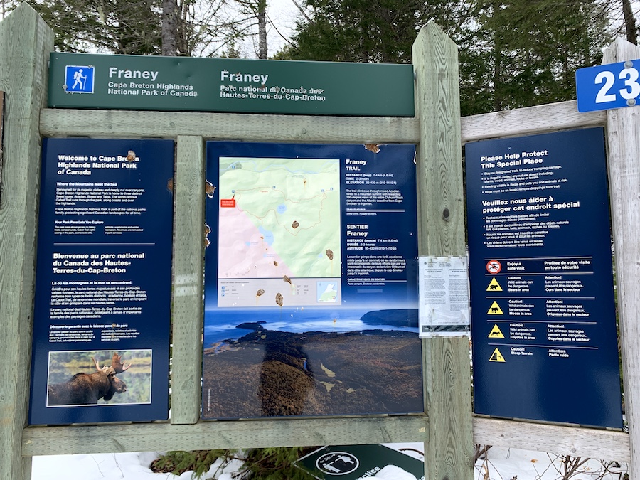
Signage: Some markers throughout, a map at the trailhead and kilometre markers throughout
Facilities: Parking area
Disclaimer: This article includes affiliate links. If you click one of them, we may receive a small percentage of the sale at no extra cost to you. Thank you for your support!
Key Features Of Franey Mountain
- Dog-friendly (on-leash)
- Frontcountry trail (Forest Road)
- Backcountry trail (Main Trail)
- Bird’s eye view of Ingonish, Middle Head and the valley below
Facilities And Services
- Parking Area
- Garbage cans at the trailhead
Before You Start Hiking Franey Mountain
Franey Mountain is a must-do hike in Nova Scotia. Before hiking, it is important to prepare as this is no walk in the park.
The difficulty level for Franey Mountain varies depending on the season. It is rated a moderate hike on AllTrails (which we agree with). However, this hike is hard to do in the winter months as the snow adds an extra level of difficulty.
There are two trails to climb Franey Mountain. The main trail is a backcountry trail that takes hikers through the rugged woods and has some great lookout points throughout.
The second is Forest Road, a well-groomed and wide trail similar to an ATV trail. This trail is the steeper of the two. While there are not many lookout points, hikers are more likely to encounter and see wildlife on this trail.
Those looking to complete the entire trail can make this into a loop. We suggest taking the backcountry trail to the top and descending via Forest Road.
There is various wildlife in the area, including bears, moose and coyotes.
When a bear is spotted nearby, there tends to be a sign at the entrance to warn hikers. It is important to bring bear spray with you when hiking Franey Mountain in case of a wildlife encounter. And, always keep the bear spray in close reach rather than deep inside your pack for quick access. In addition, having a bear bell is beneficial as it lets wildlife know you are in the area and gives them time to move further away from the trails.
While we did not spot any wildlife on our hike, since there was fresh snow on the ground, we saw numerous animal tracks and feces, including fresh bear tracks.
For more information on what to do if you encounter wildlife, click here to view our article on Wildlife Safety In Atlantic Canada.
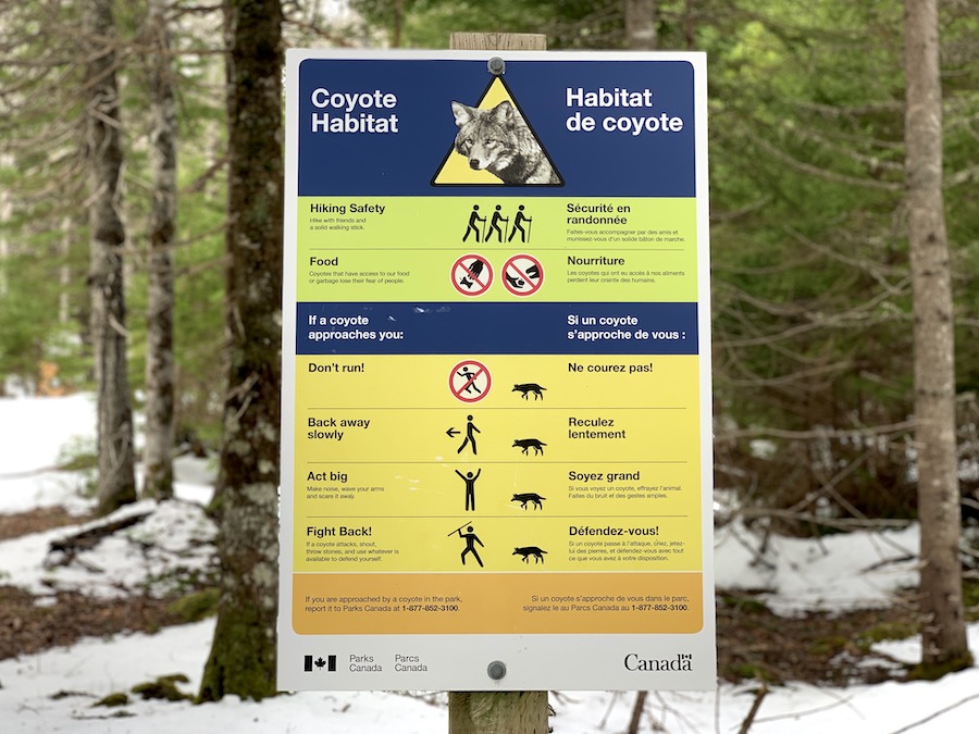
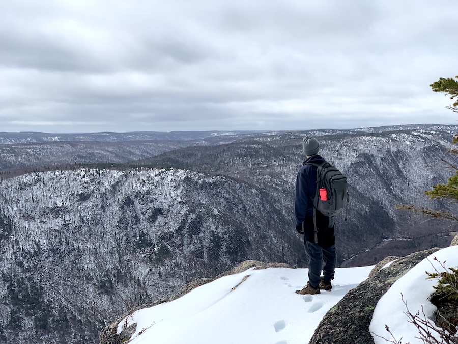
Additional advice (as indicated in the photo located below), there is safety in numbers. Hiking in groups can increase your safety when hiking in the wild.
Food and garbage should also not be left on the trails. This is a general Leave No Trace principle. It also helps keep wildlife away from the trails.
If coyotes have access to food, it could lead them not to fear humans and cause an increased threat to hikers.
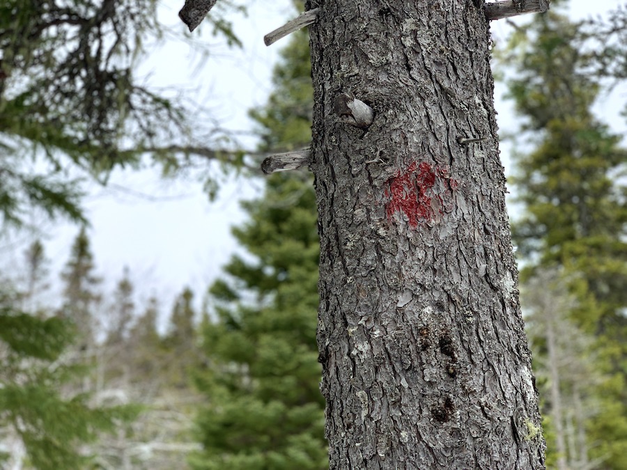
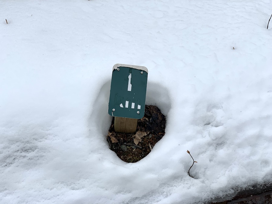
Franey Mountain is a marked trail. The Forest Road is straightforward to follow and does not require any markers, though there are kilometre markers throughout the entire loop.
The backcountry trail has sparse markers throughout, lookout point signage, and wildlife warnings.
You can either bring your own or rent a pair from the Ingonish Visitor Centre for those looking to snowshoe Franey Mountain.
Snowshoeing on Franey Mountain can be quite a challenge, especially on the inclines. Forest Road is the most groomed out of the two trails, while the main trail takes hikers through the backcountry.
Also, something to note is that during the winter months, the backcountry trail can quickly become buried, making it difficult to tell where the trail continues. For this reason, we highly recommend downloading or printing off a copy of the trail map.
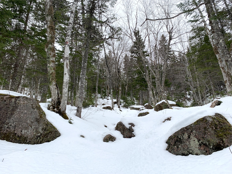
Below is a picture of the trail in April.
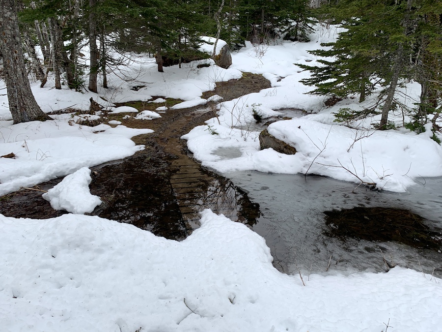
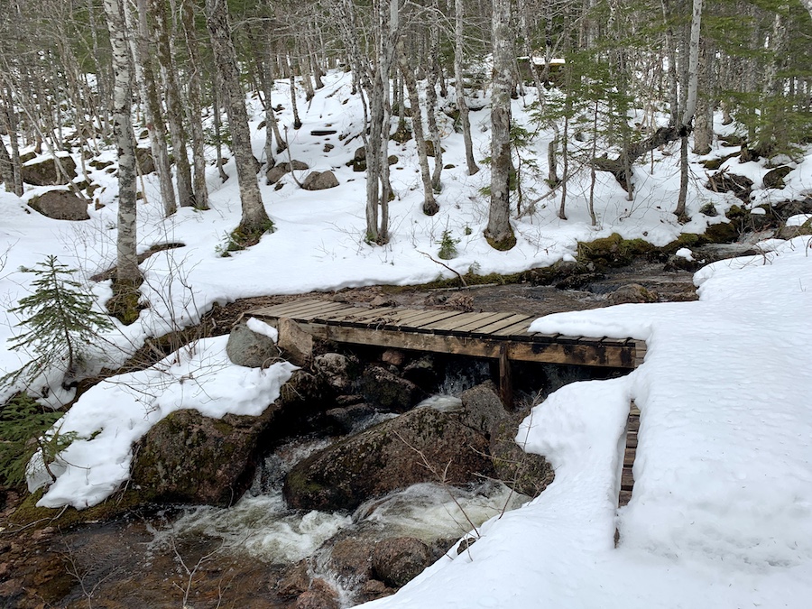
The winter conditions caused flooding in some areas and made it difficult to locate some of the stairs and bridges.
Below is an example of a bridge that was washed out from the winter.
The winter is likely the hardest time to hike Franey Mountain as the snow adds extra weight, a greater challenge, and the stairs used to help ease the ascend are completely covered, making it hard to keep your footing.
In the warmer months, Franey Mountain would be more of a moderate to hard (at times) hike.
If you choose to hike during the winter, bring proper winter gear such as extra socks, waterproof shoes, and snow/slush pants.
Even though we went hiking during the winter, there were still quite a few mosquitoes around. Insect repellant will come in handy all year round.
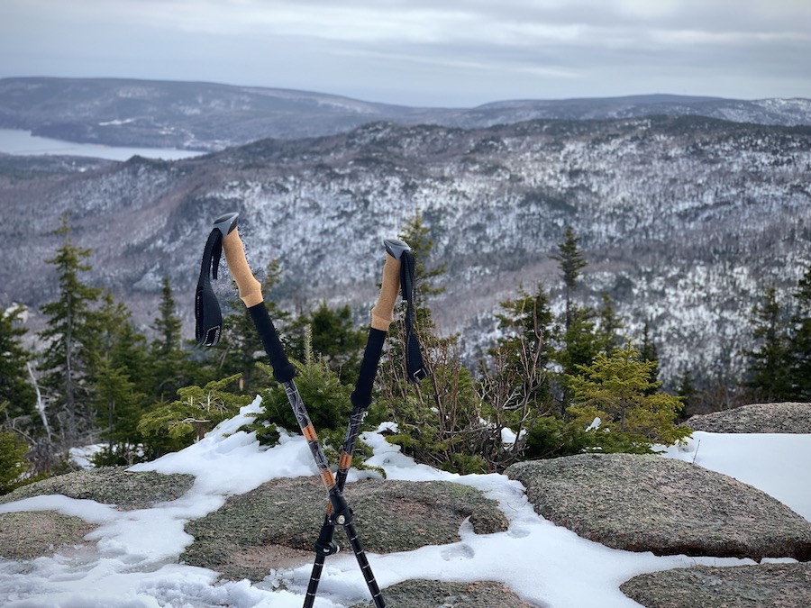
And lastly, but most importantly, we highly recommend bringing hiking poles with you. These can help protect your knees, help with balance, stability, endurance, and much more.
Our Experience Hiking Franey Mountain
As the previous section mentioned, we decided, willingly, to hike Franey Mountain in April. Our experience, therefore, was rather snowy compared to what it would have been later in the year.
After driving up the gentle incline of Franey Road, we could tell we were in for a snowy hike. The road had tire tracks to follow but was otherwise covered in snow. Perhaps we had come too early in the season, but we were determined to climb to the top anyway. Besides, we wouldn’t be the only ones on the trail that day.
That being said, the added challenge was well worth the extra time it would take to complete the trail. The AllTrails app clocked a moving time of 3 hours and 8 minutes, which was a bit longer than we had expected. Nonetheless, we were glad to have trekked up and down Franey Mountain during our spring trip to the Cape Breton Highlands.
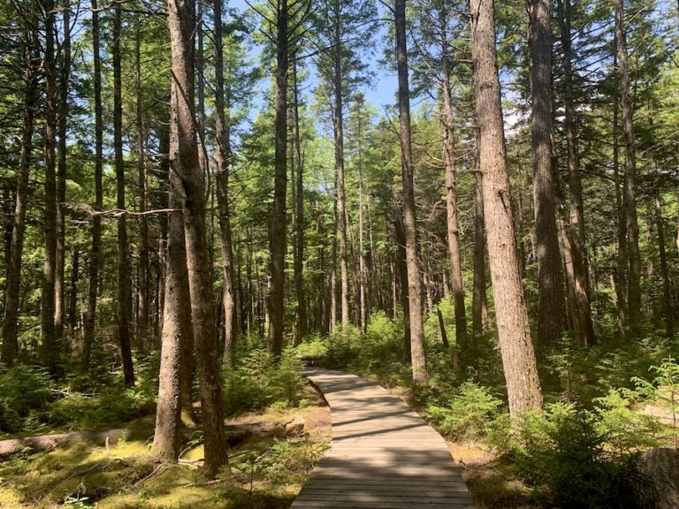
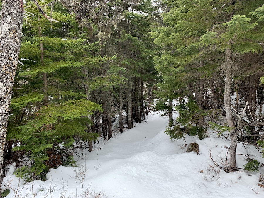
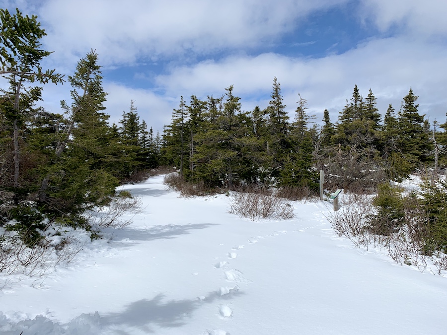
We decided to take the hiking trail upward from the parking lot and the wider, gentler multi-purpose trail back down. Here are a few pictures from the beginning of the hike.
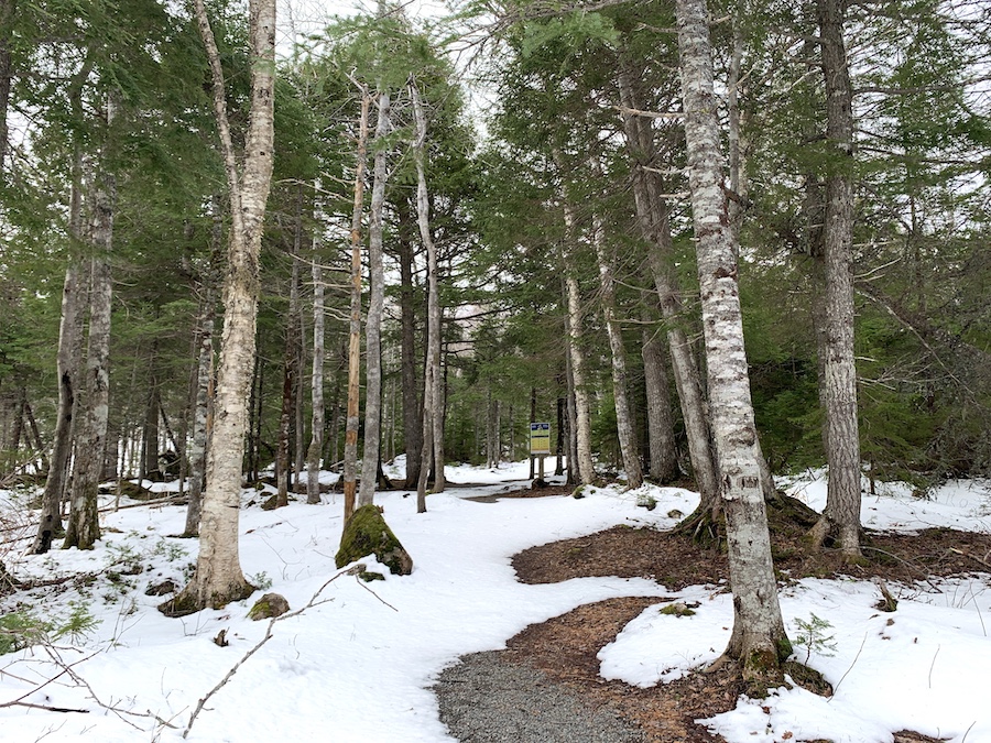
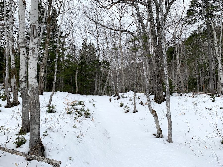
We completed the first kilometre relatively quickly. The snow wasn’t too deep in most parts. Under the snow, the terrain is fairly groomed. We’re certainly interested in coming back to experience this hiking trail in the warmer months!
While we were able to spot a few markers on the trail, there were some areas where we could not find the actual trail. This is likely due to all the snow and us being the first folks on the trail that day. Once the snow is melted, we can’t see this being a big issue but worth noting for those hiking in the snow! We did make sure to have an AllTrails map downloaded ahead of time to help navigate back onto the trail.
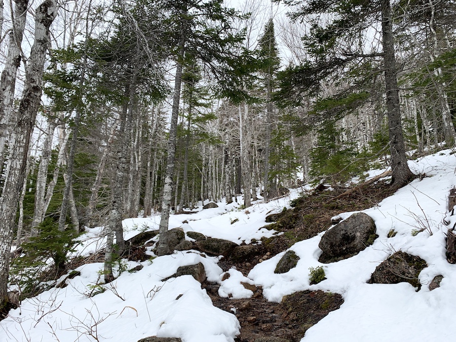
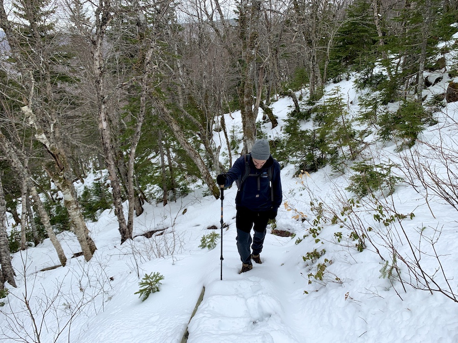
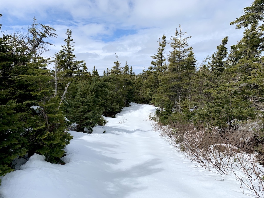
Keeping the pace steady, we continued up the mountain. The slope was relatively consistent, though it increased slightly as the elevation increased. Pictures never really do inclines and decline justice, but here’s a shot of the early parts of the climb.
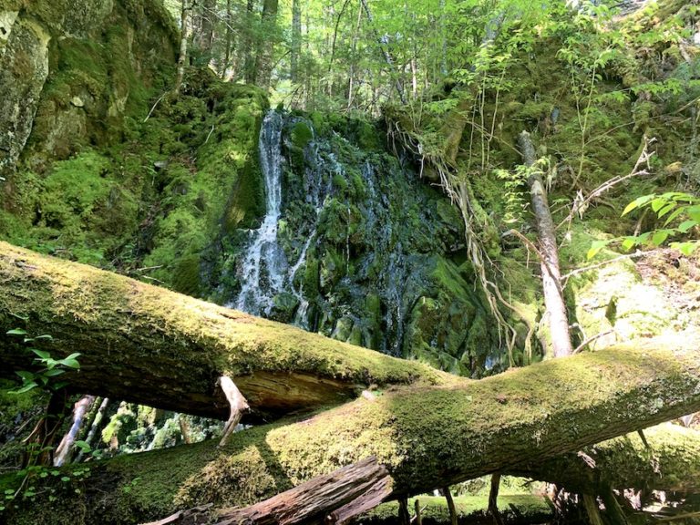
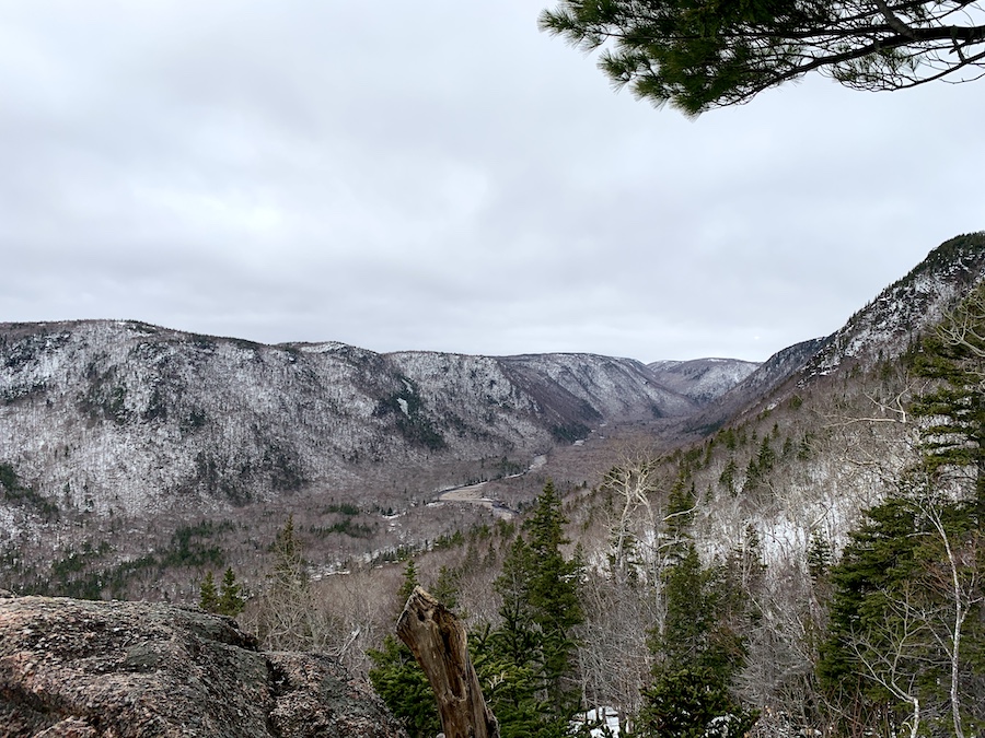
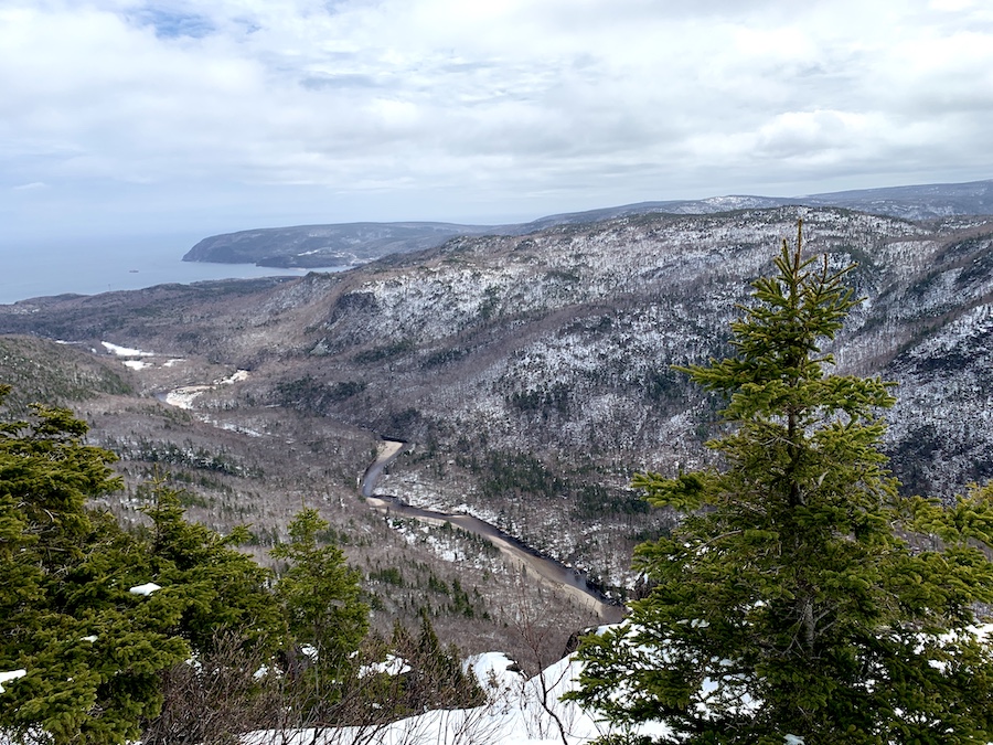
There is a marked lookoff about a third of the way up the mountain overlooking the Clyburn Brook valley. This was a perfect spot for us to stop for breakfast and gain a sneak peek of what would be an even more spectacular view from the top.
The Franey Mountain hiking trail is well maintained as part of the Cape Breton Highlands National Park. As we approached the top, there were several wooden stairs and bridges to help hikers navigate steeper inclines and waterways, respectively. Perhaps there were even more that we were unaware of hiding under the snow.
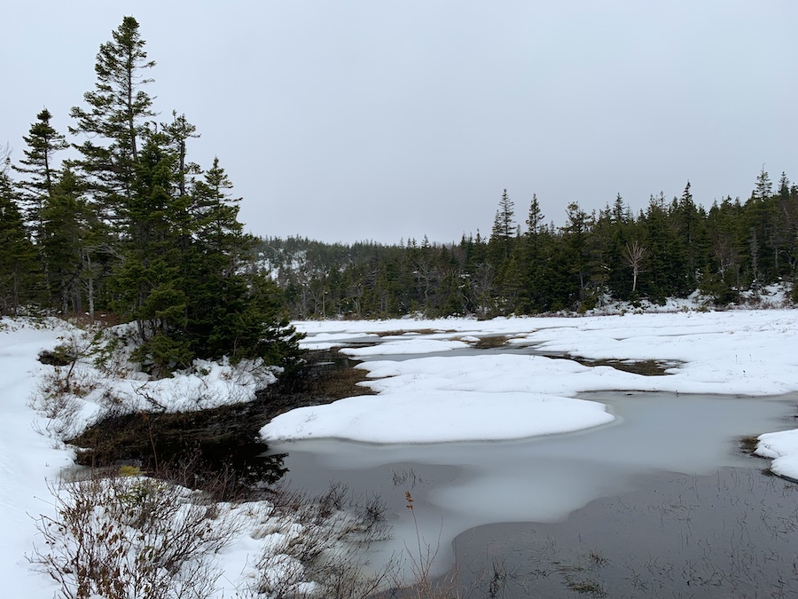
Closer to the top, the trail begins to level off in terms of elevation. There was more snow and gentler inclines and declines. The trail even took us along a high-elevation pond.
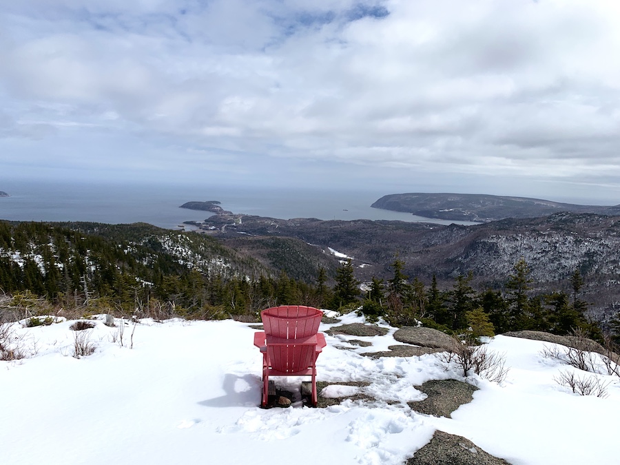
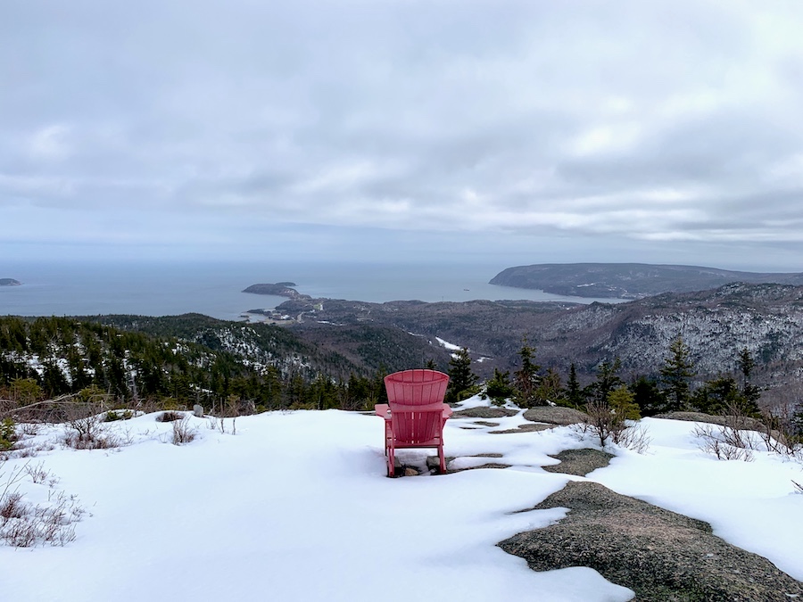
In just over an hour, we made it to the picturesque look-off with the iconic pink Adirondack. Enjoying the view from this vantage point would be the highlight of the hike and, indeed, our entire weekend of hiking in Cape Breton. I’ll let the photos we took speak for themselves:
From the top, we had two options to descend the mountain: the main trail (to make it an in-and-out hike) or the Forest Road (to make it a loop hike). To truly complete the hike, we chose the longer, gentler Forest Road.
The snow was much deeper on this path, and within a kilometre, our feet were soaked. In hindsight, we wished we had brought out snowshoes!
We also saw many more bear prints on this portion of the trail, though we did not run into any wildlife during our adventure.
The trail itself is nice and wide and would be quick and easy during warmer months. For inexperienced hikers, this path would be perfect for getting to the top of Franey Mountain.
Moving as quickly as we could, we eventually made it to the parking lot, dried our feet, changed our clothes, and made our way to Sydney for a much-needed feast after having completed another superb Nova Scotian hike!
Checklists And Recommended Gear
The following is a recommended list for hiking Franey Mountain. As this is a difficult hike with various wildlife, hikers should come prepared.
- Water bottle
- Hiking Shoes – Women’s // Men’s
- Camera/Phone to take photos
- Sunscreen
- Hat
- Insect repellent
- Cascade hiking poles
- Atlantick tick removal tool kit
- Snowshoes (seasonal)
- Bear bell
- Bear spray
Related Hikes
MOUNTAIN HIKES IN THE MARITIMES
- Sugarloaf Mountain (Campbellton, New Brunswick)
- Mount Carleton (New Brunswick)
- Salt Mountain Trail (Cape Breton, Nova Scotia)
- Coxheath Mountain (Cape Breton, Nova Scotia)
- Cape Smokey (Cape Breton, Nova Scotia)