The Musquodoboit Trailway Hiking Guide, Nova Scotia
The Musquodoboit Trailway in Musquodoboit Harbour offers hikers a well-maintained trail along the Musquodoboit River and hillsides of rural Nova Scotia. Whether you’re looking for a peaceful walk in nature or a full day of trekking through the wilderness, the Musquodoboit Trailway and its connected trails are a great option!
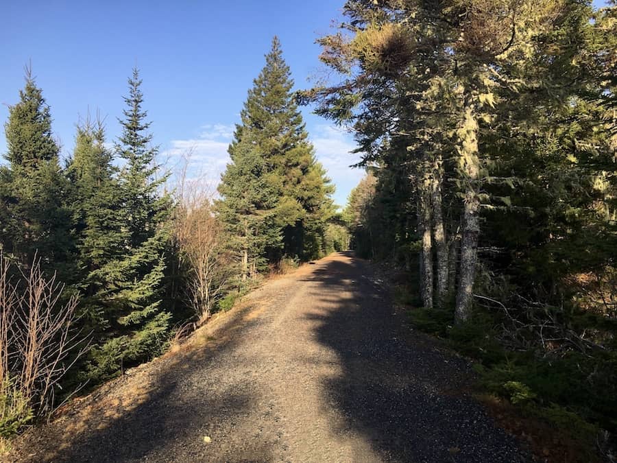
Formerly a railway, the Musquodoboit Trailway offers almost 30 kilometres of trails plus numerous backcountry hiking trails that stem from the main path. The main trail is both stroller and accessible-friendly and has a parking lot to either side of its 15 km length.
Difficulty: Easy
Length: 29.9 km (out and back)
Suggested Duration: 1-7 hours
Signage: Maps, signs and markers throughout the trail
Facilities: Large parking lot and vault toilets in the parking lot
Disclaimer: This article includes affiliate links. If you click one of them, we may receive a small percentage of the sale at no extra cost to you. Thank you for your support!
Key Features Of The Musquodoboit Trailway
- A multi-use trailway for hiking and cycling
- Passes through a mix of forested areas, wetlands, and rivers
- Dog-friendly (on-leash)
- Part of the larger Trans Canada Trail network
- Offers opportunities for birdwatching and wildlife sightings.
- Accessible & stroller-friendly
- Features 26 kilometres of backcountry trails
- Accessible year-round and close to the community of Musquodoboit Harbour
Facilities And Services
- Parking lot
- Benches throughout Musquodoboit Trailway
- Restrooms at the entrance/parking lot
Before You Start Hiking The Musquodoboit Trailway
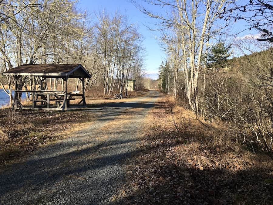
There are two separate parking lots for the Musquodoboit Trailway. The first is the official trailhead and is located off of Park Road, Musquodoboit Harbour, near the Dale Bennett Memorial Baseball Field. From this parking lot, hikers can walk a short distance down the Musquodoboit Trailway to access the entry point for the Bayer Lake Loop, Skull Rock, and Admiral Lake Loop.
The second parking lot is found about 15 km from the main parking lot but taking NS-357 northbound. This is the best way to reach the Gibraltar Rock Loop Trail, South Granite Ridge Trail, and North Granite Ridge Trail.
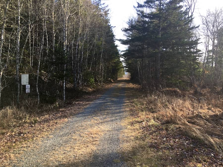
The Musquodoboit Trailway is made of crushed gravel and is commonly used by dog walkers, hikers, and cyclists. Dogs are to be on leash on the trail.
As for the terrain, the trail is flat with no changes in elevation, except for the backcountry trails, which all consist of various inclines and declines. The main trail is both accessible and stroller-friendly.
It is important to leave no trace behind on the trails. All items and garbage should either be put in a garbage bin or returned with you. The trails are all managed and maintained by volunteers of the Musquodoboit Trailway Association. If you are interested in becoming a volunteer, click here.
Hiking Trails Off Of The Musquodoboit Trailway
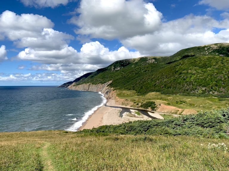
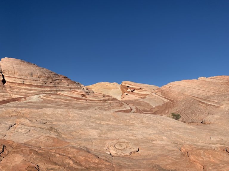
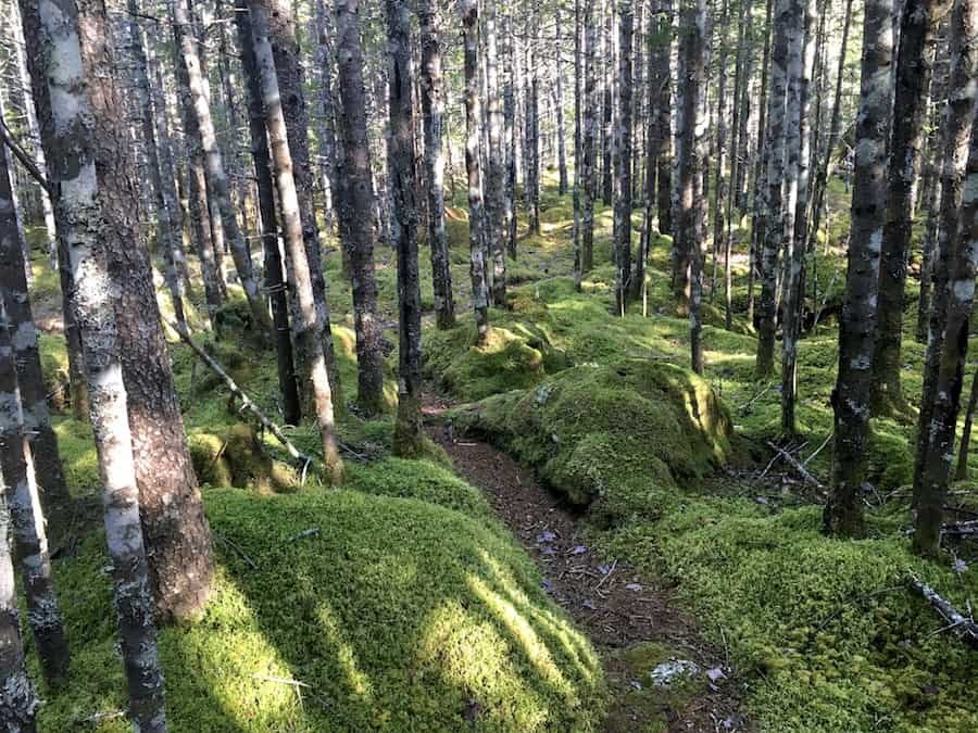
As previously stated, several wilderness trails stem from the main Musquoboit Trailway. These trails are much more challenging and offer some amazing views at the many look-off points.
We’ve been fortunate enough to have hiked through each of these trails over multiple visits to the trail system. Below are brief descriptions of each trail, along with links to check out the in-depth Hikers Movement articles.
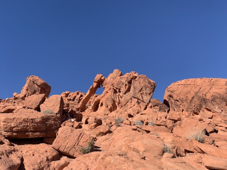
Skull Rock Trail
The Skull Rock Look-off is a quick in-and-out trail that makes up part of the larger Admiral Lake Loop just off of the Musquodoboit Trailway. It offers hikers a rugged incline to a beautiful look-off point.
The Skull Rock Trail is 2.7 kilometres one-way (5.4 km out-and-back). This look-off trail is a popular option for those wanting a shorter hike that is, at the same time, challenging. Of course, if you’re up for it, continuing on the loop is well worth it.
Admiral Lake Loop
The Admiral Lake Loop Trail offers hikers a fairly challenging yet relatively short trek with incredible look-off points and varied terrain. It’s a fantastic hike for experienced hikers and beginners looking to push themselves through various terrains.
Many hikers will combine both Skull Rock Trail and the Admiral Lake Loop into one trek (around 10.3 kilometres in total).
Bayer Lake Loop
The Bayer Lake Loop is a short but sweet hiking loop just off of the Musquodoboit Trailway. It offers hikers rather pronounced inclines and declines with a great look-off to make the trek well worth the effort.
With 5 kilometres worth of backcountry (out and back from the parking lot), this loop is perfect for those looking for a short hike full of mixed terrain and rewarding views.
North Granite Ridge Trail
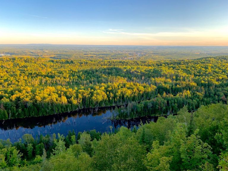
The North Granite Ridge Trail is an awesome day hike through the forest in Musquodoboit, Nova Scotia. It features a decent number of inclines and declines, several superb look-offs, and varied terrain.
Whether you’re an experienced hiker or a beginner looking for a challenge, this 19.8-kilometre out-and-back trail is an excellent option.
South Granite Ridge Trail
Like the North Granite Ridge Trail, the South Granite Ridge Trail offers a wonderful day hike with notable changes in elevation, several superb look-offs, and varied terrain.
This trail is challenging at times, giving hikers 20 kilometres of heart-pumping cardio followed by rewarding lookouts.
Gibraltar Rock Loop Trail
The Gibraltar Rock Loop Trail is a short yet steep climb to Gibraltar Rock which features an incredible bird’s eye view of the river below.
The trailhead is around 100 meters into the Musquodoboit Trailway. The Gibraltar Rock Loop Trail is around 1.3 kilometres in length. Hikers can either complete the loop and return to the Musquodoboit Trailway, making for a 2.5-kilometre round trip in total or continue onto the North Granite Ridge Trail.
Our Experience Hiking The Musquodoboit Trailway
Admittedly, we haven’t done the entirety of the Musquodoboit Trailway in any single day. However, through our hiking of the wilderness trails, we’ve completed 100% of the railway.
The North and Sound Granite Ridge trails both have an entrance at the 15 km mid-point of the Trailway. So we’ve certainly done different halves of the trail on different days.
You’ll notice in the pictures that the weather is slightly different. This reflects our many visits to the Musquodoboit Trailway.
What’s great about this trail, for us, is that it offers a great warm-up and/or cool-down for the more intense wilderness trails. Our experience, again, was that the main trail led us from the parking lot to the wilderness trails.
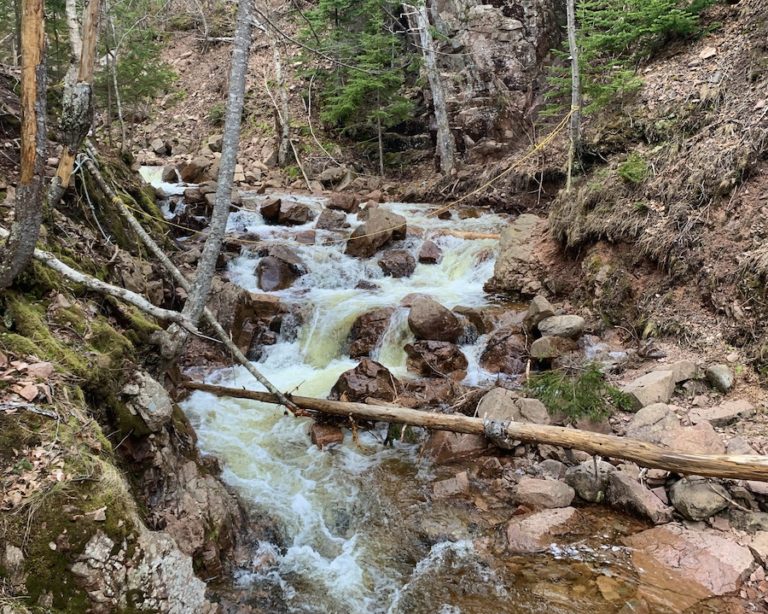
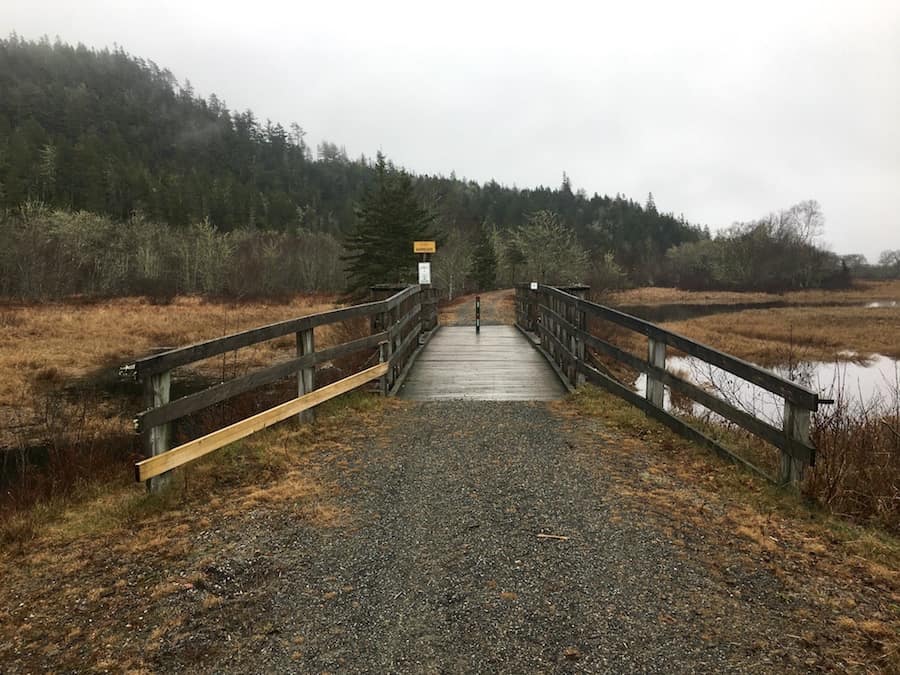
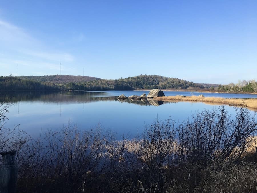
As a trail by itself, it’s a great walk through nature with plenty to see. There is the Musquodoboit River, a few lakes, bridges, and wildlife throughout the trail.
The trail is very well-groomed, though there is no Winter maintenance. The terrain is easy to walk along, and the minimal elevation makes it a relatively easy stroll. Sometimes it isn’t easy to take in the sights as we hike around rocks and roots. With this trail, we could keep our heads up and take in the wonderful views of nature.
In our experience, the trail is fairly popular. However, because of its length, you’ll likely be separated by other walkers/hikers. We’ve come across plenty of dog walkers, cyclists, and wilderness hikers alike while making our way through the Musquodoboit Trailway.
All in all, this is a great trail, and we’d recommend it to people of all fitness levels. Once you’re on the trail, there are several options for more adventurous hikes at well-marked entrances. We’d highly recommend checking these out to embark on amazing hikes through the Nova Scotian wilderness!
Checklists And Recommended Gear
We recommend bringing some supplies with you whether you walk part of or the entire Musquodoboit Trailway and/or any backcountry trails located off the main trail.
- Water bottle
- Hiking Shoes – Women’s // Men’s
- Camera/Phone to take photos
- Snacks and/or lunch
- Sunscreen
- Hat
- Insect repellent
- Water filter
- Cascade hiking poles
- Atlantick tick removal tool kit
- Bike
Related Hikes
- Beechville Lakeside Timberlea Rails to Trails – Nova Scotia, Canada