Hiking To Baxters Harbour Falls & Black Hole Falls, NS
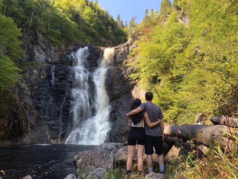
The Baxters Harbour Falls and Black Hole Falls are two of the many picturesque waterfalls that feed into the Bay of Fundy. Each of these waterfalls is accessible via a short trail. Together, they make for a short but sweet adventure, chasing waterfalls and hiking in the beautiful province of Nova Scotia.
In this article, we’ll be discussing Baxter’s Harbour Falls and Black Hole Falls, which are only about 1.5 kilometres from each other. Getting to Baxter’s Harbour Falls is relatively easy, making it a popular spot, while Black Hole Falls requires a bit of a hike to get to.
Whether you’re planning on visiting Baxter’s Harbour Falls or Black Hole Falls (or both, which is what we recommend), this article is for you!
Baxters Harbour Falls
Difficulty: Easy
Length: 1.1 km (loop)
Facilities: Small parking area
Back Hole Falls
Difficulty: Easy
Length: <0.3 km
Facilities: Street parking
Disclaimer: This article includes affiliate links. If you click one of them, we may receive a small percentage of the sale at no extra cost to you. Thank you for your support!
Key Features Of Baxter’s Harbour Falls & Black Hole Falls
- Short and easy walks to breathtaking waterfalls
- Within a minute down the road from each other, perfect to do both in one day
- Dog-friendly (on-leash)
- The Waterfalls feed into the Bay of Fundy
Facilities And Services
- Small parking lot at Baxter’s Harbour Falls
- Benches at Baxter’s Harbour Falls
- Garbages
- Side street parking at Black Hole Falls
Before You Start Hiking To Baxter’s Harbour Falls & Black Hole Falls
While these are relatively short trails, there are a few things you should know before you go. Baxter’s Harbour Falls is along the Bay of Fundy, which means it is important to check the tide times before you arrive.
When the tide is low, you can explore the rocky beach area and get close to the waterfall. Make sure to wear good shoes as the rocks can be quite slippery (especially the green ones).
There is no hiking involved when getting to Baxter’s Harbour Falls. It is a short walk from where you park your car to the falls. However, you can make an adventure out of it by exploring the rocky shoreline during low tide.
The parking lot is small, and folks tend to park up the hill that leads down to the falls. The hill is narrow and only big enough for one car to go through at a time, so be careful of cars coming from the opposite direction.
Once you are done at Baxter’s Harbour Falls, we highly recommend checking out Black Hole Falls, which is a short three-minute drive (approximately 1.5 km east) from Baxter’s Harbour Falls.
The Black Hole Falls does not have a parking lot, but there is side parking available. This road is much wider and flatter than the hillside leading to the aforementioned Baxter’s Harbour Falls.
To reach the falls, hikers will need to follow the main trail until they approach a narrow trail opening on the left-hand side. This trail will take you toward the falls.
While the “main trail” seems desirable because it is wide and more defined, this trail will take you to the river rather than the waterfall. The trail on the left is narrow and steep at times. Use with caution.
Our Experience Hiking Baxter’s Harbour Falls
We were not too sure what to expect when we decided to go to Baxter’s Harbour Falls. After seeing some photos online, we decided to go check them out.
To our surprise, this is not a hike at all. Rather, this is a short walk with the potential to be more if the tide is out.
Getting to Baxter’s Harbour Falls was fairly easy, thanks to GPS. At the end of Baxter’s Harbour Road (at the bay end), cross Old Baxter Mill Road and continue straight down onto Paddy Beach Road. This is a narrow, steep hill that leads to a small parking lot.
The parking lot was full when we arrived, but like many others, we parked along the side of the road on the hill. Most people time their visit for low tide to walk along the shore and get close to the waterfall.
The walk from our car to the falls was short. Again, we certainly would not consider this a “hike.”
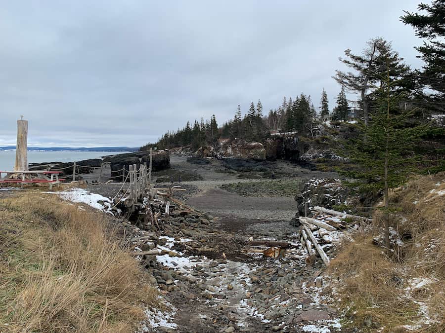
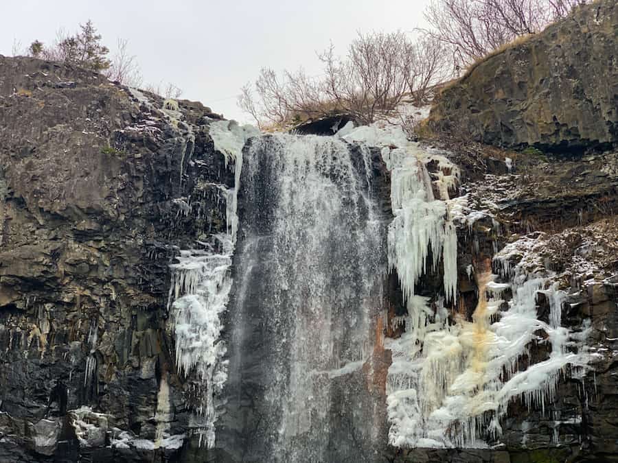
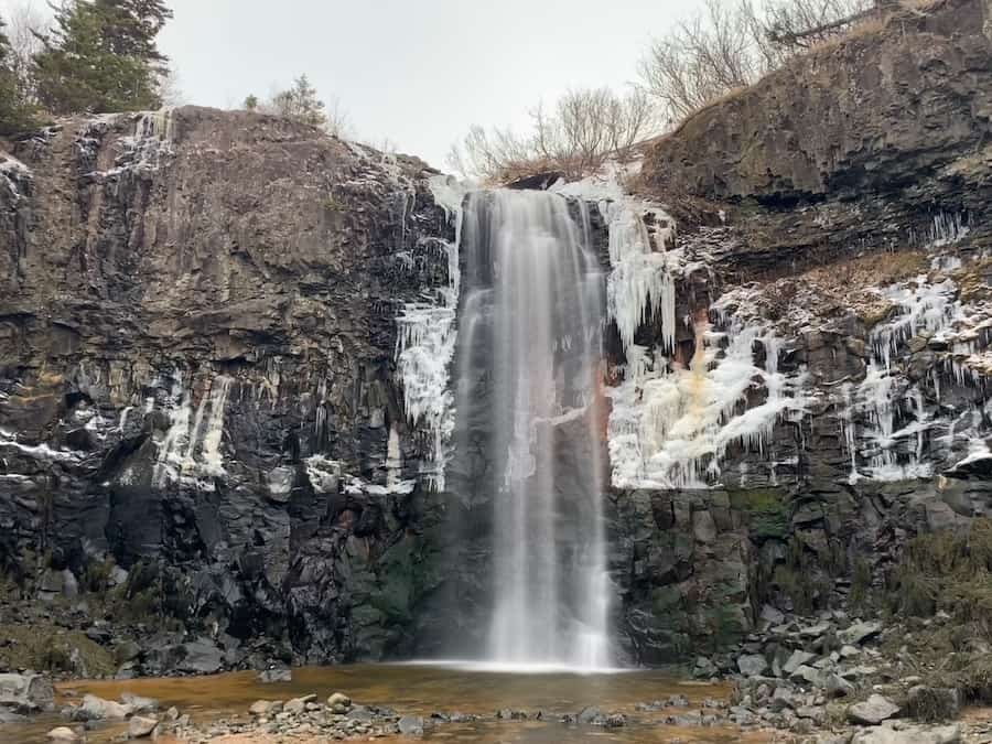
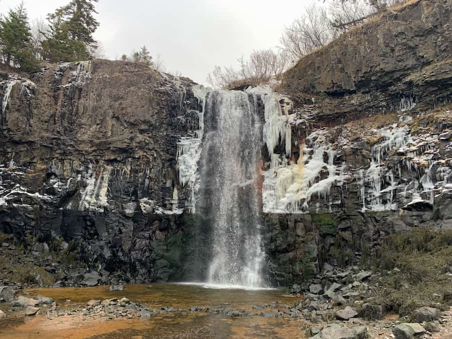
Here are a few pictures of the main attraction: Baxter’s Harbour Falls:
It was January when we made our trip to see the falls. This time of year generally has weather that regularly alters between freezing and thawing. As you can see, the water is flowing, but there is also a significant amount of ice forming.
Here’s a picture of the water leading from the falls to the Bay of Fundy. Note that, at high tide, the beachside on which we were standing is underwater!
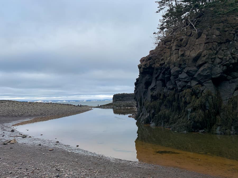
Depending on your timeline and sense of adventure, the coastline extends for additional exploration. However, this is no easy “walk on the beach”. It’s very rocky, and because the tide will cover the rocks periodically, they are nearly all slippery. Proceed with caution!
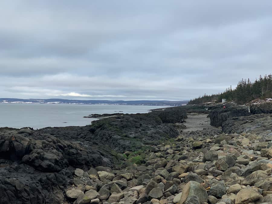
Note that, if you’re willing, you could trek eastward along the coastline to get to the base of the Black Hole Falls. Please be aware of the tides if you choose to do so. The Bay of Fundy has the highest tides in the world, and we don’t want you to get caught.
Of course, the easier way is to return to the parking lot and drive yourself there. And that’s exactly what we did after slipping a few times and noticing that we spent more time than we thought admiring the falls at Baxter’s Harbour Falls.
Our Experience Hiking Black Hole Falls
From Baxter’s Harbour Falls, Black Hole Falls is a short three-minute drive down Old Baxter Mill Road to Bigelow Cove Road. You will have to keep an eye out for the trail, which is on the left-hand side of the road. There are no signs indicating the trailhead, though the trail is wide and easy to spot.
There are no official parking lots. The only parking is alongside the road.
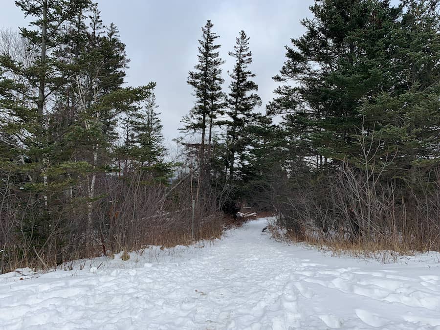
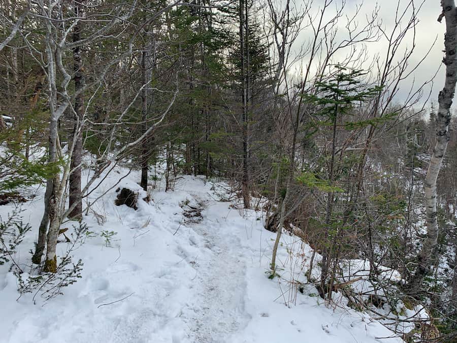
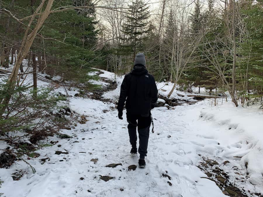
When we first began down the trail, it was quite muddy and, at times, slippery. This could be due to the winter conditions.
There was considerable water underneath the snow in many parts of the main trail, leading us to believe that this trail would be rather muddy come springtime. Perhaps we’ll be back to test out this hypothesis!
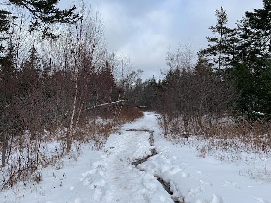
As we continued down the trail, we reached the point where hikers could either go left, which is the trail, to the top of the falls or continue straight down to the river.
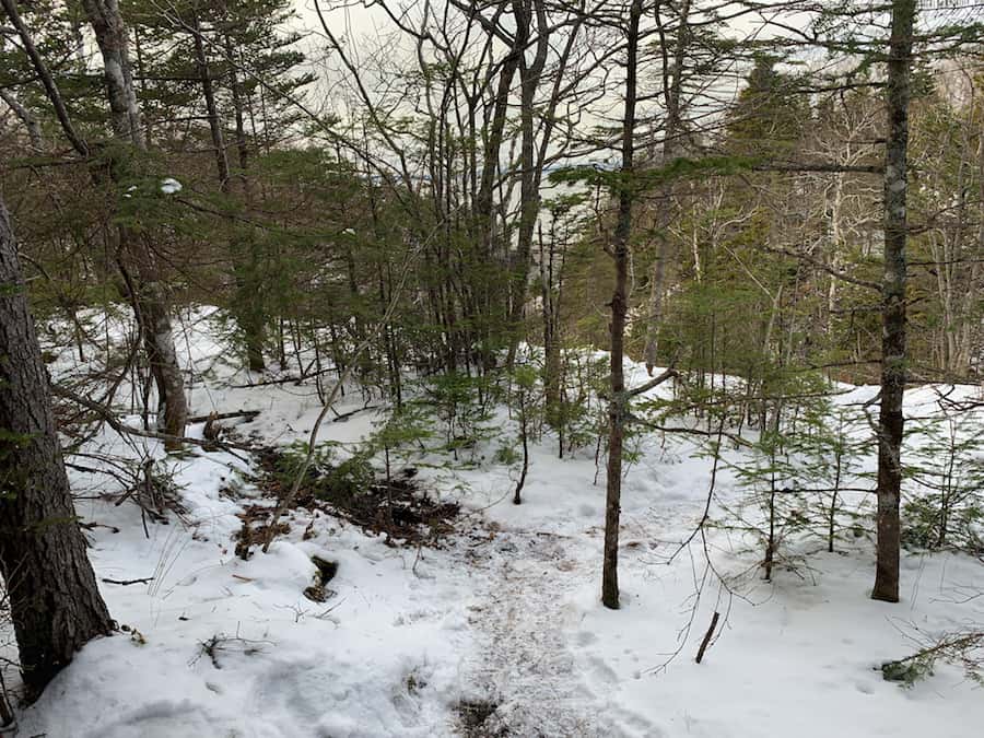
We choose to go down to the river to explore first. As we got closer to the river, the trail became more wet and rocky, as pictured below.
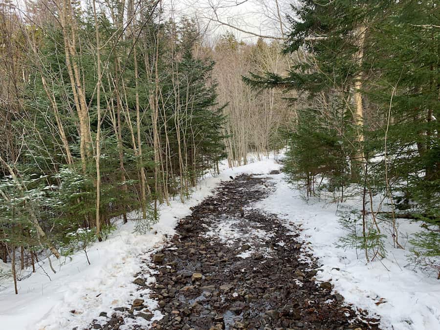
The river was not deep and potentially crossable. However, we chose to turn around once we reached the river.
From here, we walked back up the slight incline until we reached the side trail to Black Hole Falls.
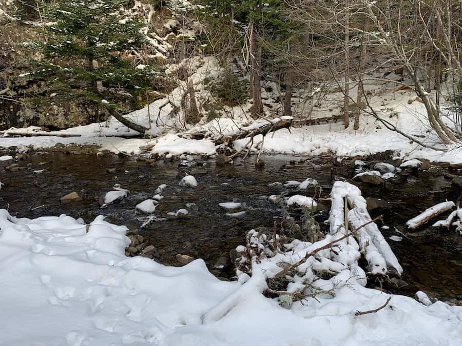
The trail to the falls is more narrow than the main trail and has a few muddy patches. Especially as you approach the edge of the waterfall and cliffs.
Once you reach the end of this trail, you will approach a lookout point out to the Bay of Fundy (pictured below). In the summer months, the falls are much fuller than the winter months when we visited.
Again, it’s also worth noting that we visited during low tide, and so the water is low. At high tide, the valley would be much fuller.
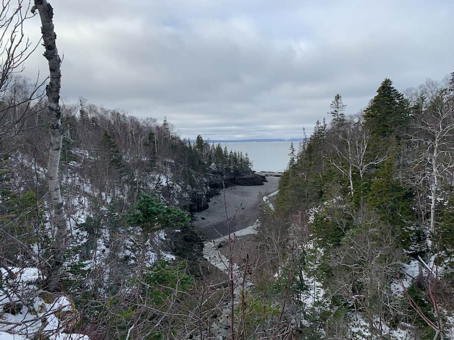
We decided to head right on the trail towards where we assumed the falls were based on the water flowing to the Bay of Fundy.
After a little trip through the woods, we finally reached the falls. To get down to the top of the falls is a bit of a steep decline. Since we went in the winter, it was slippery, and we found ourselves holding onto nearby trees to ensure our balance. This is where hiking poles would have come in handy.
The drop is steep, and the closer you get to the waterfall, the more slippery it is. Hikers should proceed with caution when getting close to the falls.
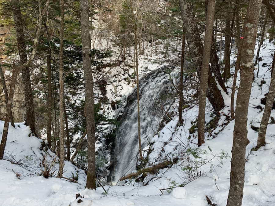
After this, we continued on toward the top of the waterfall (pictured below).
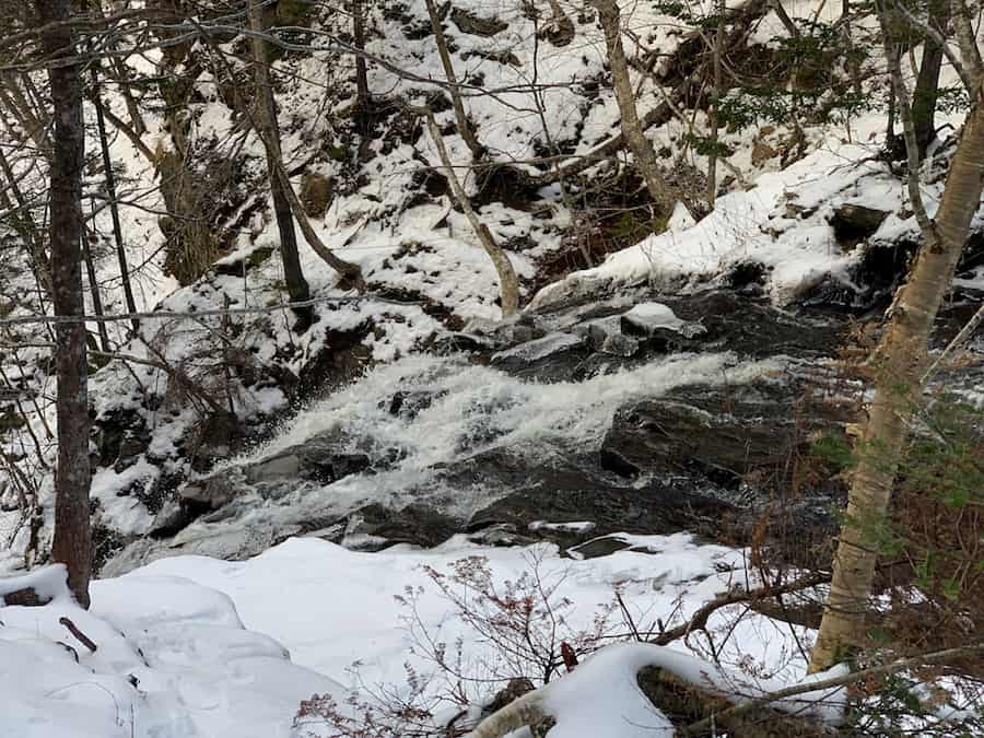
From this point, you can either turn around and return the way you came or continue through the narrow path on the right and complete the loop back to the main trail.
We had met some other hikers along the way, so we returned the way we came with them.
Checklists And Recommended Gear
The following is our recommended gear for Baxter Harbour Falls and Black Hole Falls.
- Water bottle
- Hiking Shoes – Women’s // Men’s
- Camera/Phone to take photos
- Sunscreen
- Hat
- Insect repellent
- Cascade hiking poles
- Atlantick tick removal tool kit
Related Hikes
WATERFALL HIKES IN NOVA SCOTIA
- Liscomb River Trail (Liscomb Mills, Nova Scotia)
- Victoria Park (Truro, Nova Scotia)
- Phantom Falls (Fantum Falls) (Nova Scotia, Canada)
- Dawson Brook Falls (Ellershouse, Nova Scotia)
- Uisge Ban Falls (Cape Breton, Nova Scotia)
- Horse Pasture Brook Falls (Wentworth, Nova Scotia)
- Fairy Hole (Cape Dauphin, Nova Scotia)

