Horse Pasture Brook Falls Hike, Nova Scotia
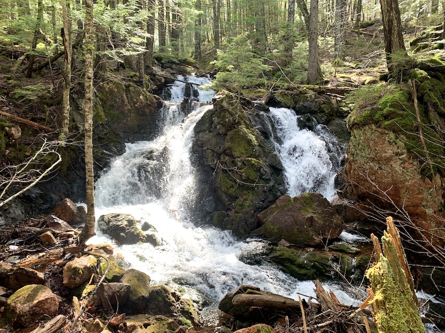
The hike to Horse Pasture Brook Falls is a 9 km, lightly trafficked out-and-back trail. Horse Pasture Brook Falls truly earns its pluralization with six different waterfalls, all within about 1 km of one another.
Parking just off Highway 4, hikers will begin their trek to the falls on an old logging/ATV trail. Near the waterfalls, there are bridges and splits in the trail, offering several paths to choose from. Getting to the falls is relatively simple, with a few decent inclines, and once near the main falls, hikers can explore upstream and downstream to find additional falls.
Difficulty: Easy to Moderate
Length: 4.5+ km (out and back)
Suggested Duration: 1.5 to 3.5 hours
Signage: Sparse markers throughout
Facilities: Small parking area
Disclaimer: This article includes affiliate links. If you click one of them, we may receive a small percentage of the sale at no extra cost to you. Thank you for your support!
Key Features Of Horse Pasture Brook Falls
- Features the scenic waterfall known as Horse Pasture Brook Falls
- Passes through a mix of forested sections and streams
- The waterfall is a popular spot for swimming and relaxation
Facilities And Services
- Small parking area
Before You Start Hiking Horse Pasture Brook Falls
Horse Pasture Brook Falls trailhead is located off Highway 4.
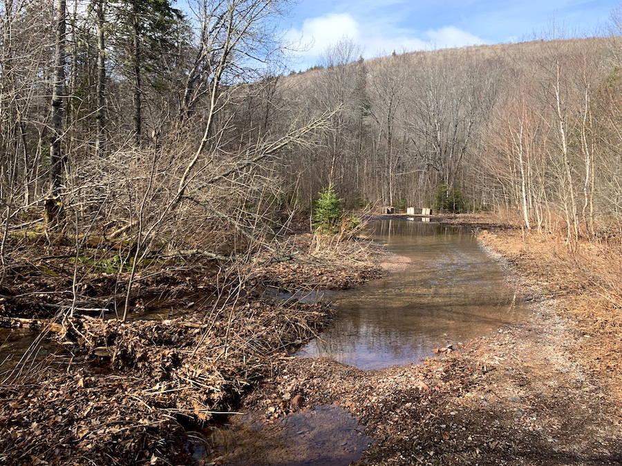
There is a small area to park at the beginning of the trail off the Highway. However, we recommend driving down the dirt trail and parking at the larger opening a few meters, as the beginning of the trail is flooded from the Wallace River (picture below for reference).
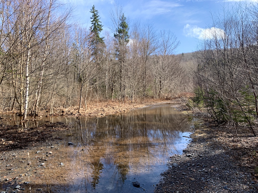
We were not aware there was another opening where we could park, so we hiked through the flooded trail. Your shoes will certainly thank you if you drive through this part!
We did try to walk around the flooded area and ended up in thorn bushes. Be cautious if you choose to do this.
Once past the opening, the trail begins to take hikers through the groomed backcountry.
Here you can expect to find various bridges, rivers, and waterfalls throughout.
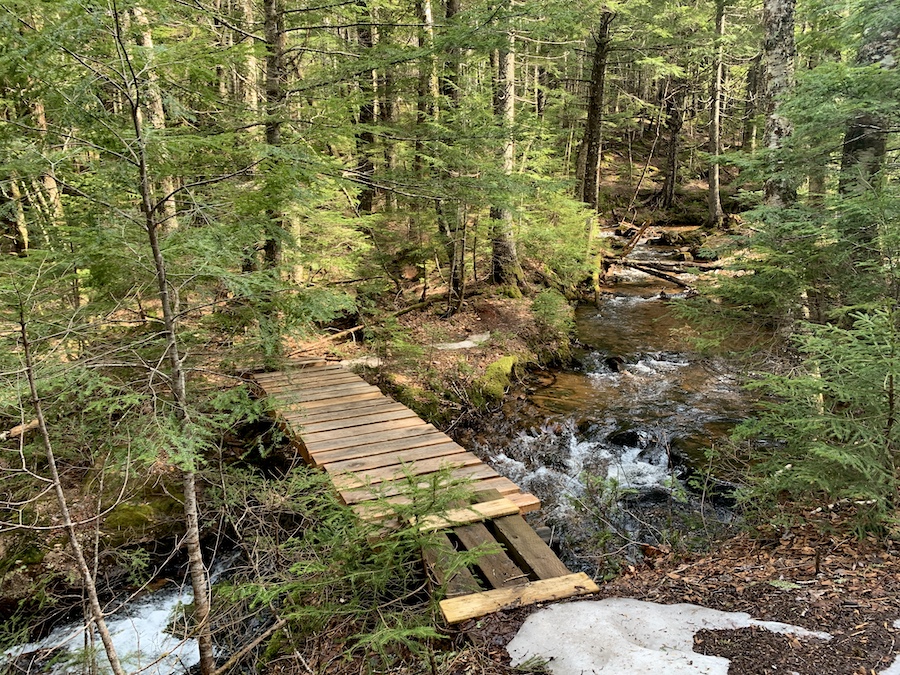
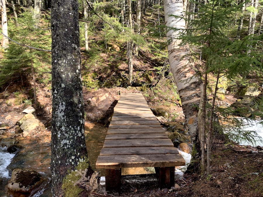
From the first bridge (located above), take the left-hand side trail along the river. This will lead to numerous beautiful waterfalls.
There are various pathways to take along this trail; make the most out of them and explore everything the area offers!
There is no signage at the turn-off from Highway 4 to mark off the entrance to reach Horse Pasture Brook Falls. We suggest using a GPS to find the trailhead/parking lot.
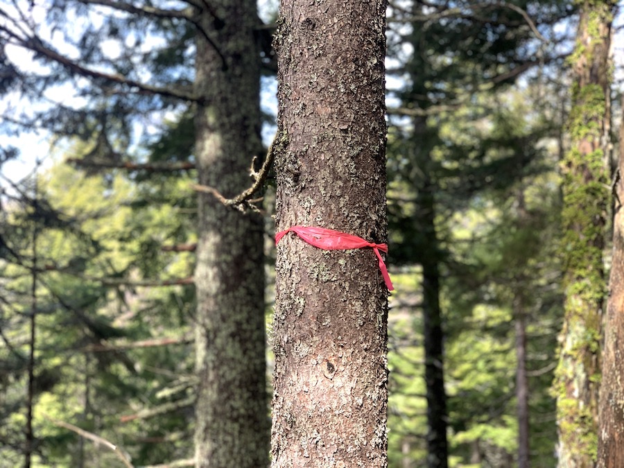
Sparse markers can be found throughout the trails. We always suggest downloading a map before hiking if you are unfamiliar with the area.
Our Experience Hiking Horse Pasture Brook Falls
We hiked to Horse Pasture Brook Falls on a beautiful mid-April day as the spring thaw was pretty much finished in this part of Nova Scotia. This is the best time of the year to explore the waterfalls of the province. We expected a wet trail but a full waterfall, having seen pictures of the falls before making our own journey.
Beautiful weather made the hike super enjoyable, but we were certain to bring extra layers. Starting at the small parking area off Highway 4, we began down the old logging/ATV trail.
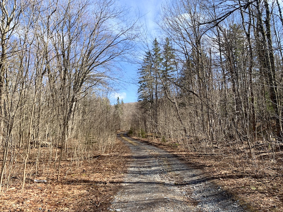
Before long, the trail became super washed out. In hindsight, we could have driven through and parked on the other side of the giant puddles. In dryer summer months, we’d expect these puddles to subside or at least shrink in size.
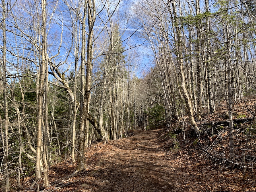
Fortunately, much of the trail beyond this point was remarkably dry, given the time of year.
The trail was wide enough for us to walk side-by-side throughout most of the hike. Up until the first bridge at Hart Lake Brook lower falls, there is relatively little elevation.
Here is the bridge at Hart Lake Brook Lower Falls first. This “bonus” waterfall is a beautiful sight before reaching the Horse Pasture Brook Falls.
Exploring off the main trail, hikers can get a better view of the Hart Lake Brook Falls.
Here’s a picture near the bridge:
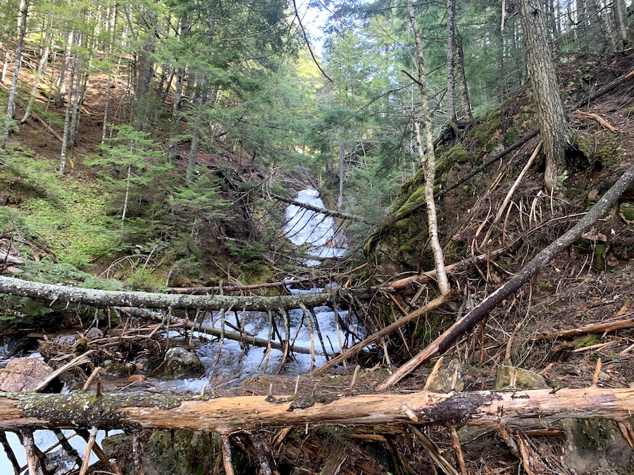
After the bridge, we took a left and began the most notable incline of the trail. This brook is not Horse Pasture Brook, and the incline will turn hikers away from the brook and up the slope.
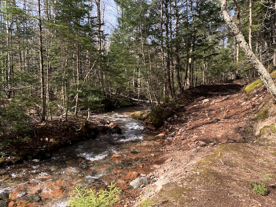
In just under 1 km, we made it to the bridge at Horse Pasture Brook. There are trails to either side of the brook that follow the water upstream and downstream. Continuing upstream, hikers can walk until they reach the junction of West Branch Swan Brook and Horse Pasture Brook to make this hike a 9 km in-and-out or continue beyond to make it as long as they’d like.
There is also a trail upstream that stems northward up a notable 300+ ft incline.
Though we stayed by the brook, looking for the waterfalls, the AllTrails App implies that these trails continue well beyond the picturesque Horse Pasture Falls. To keep this article succinct, we won’t be discussing these extraneous trails. They’re largely the same terrain and are a joy to hike, but are beyond the final destination of this post. Our hiking distance was recorded as 4.6 km.
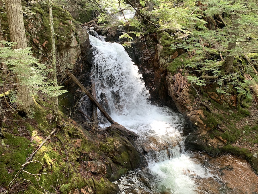
The first of many waterfalls can be seen immediately at the crossing point, as pictured below:
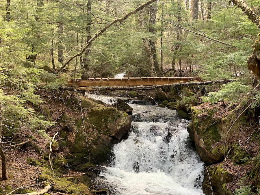
Crossing the bridge, we took a left, travelling downstream to find the other waterfalls.
Note that there is a well-defined trail that runs almost adjacent to the water. However, we followed the brook more closely on a less-trodden path.
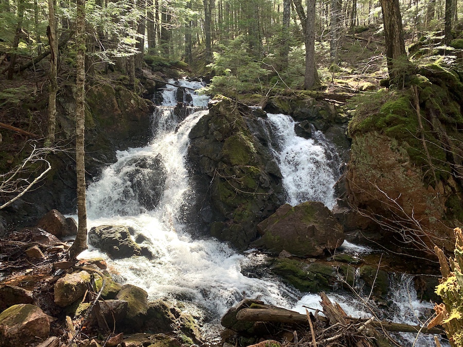
We carefully followed the brook’s edge, stopping frequently to admire each of the several waterfalls.
The spray from the falls made the terrain rather slippery, and there were pretty significant drops along the way. Be safe and move at your own pace.
Here is a series of pictures we took as we travelled downstream along the brook:
Arriving at what would be the last waterfall we’d see on this hike, we stopped for a quick snack and stretched. The bottom of this waterfall (pictured below) is accessible, and we enjoyed our time near the bottom beside the water.
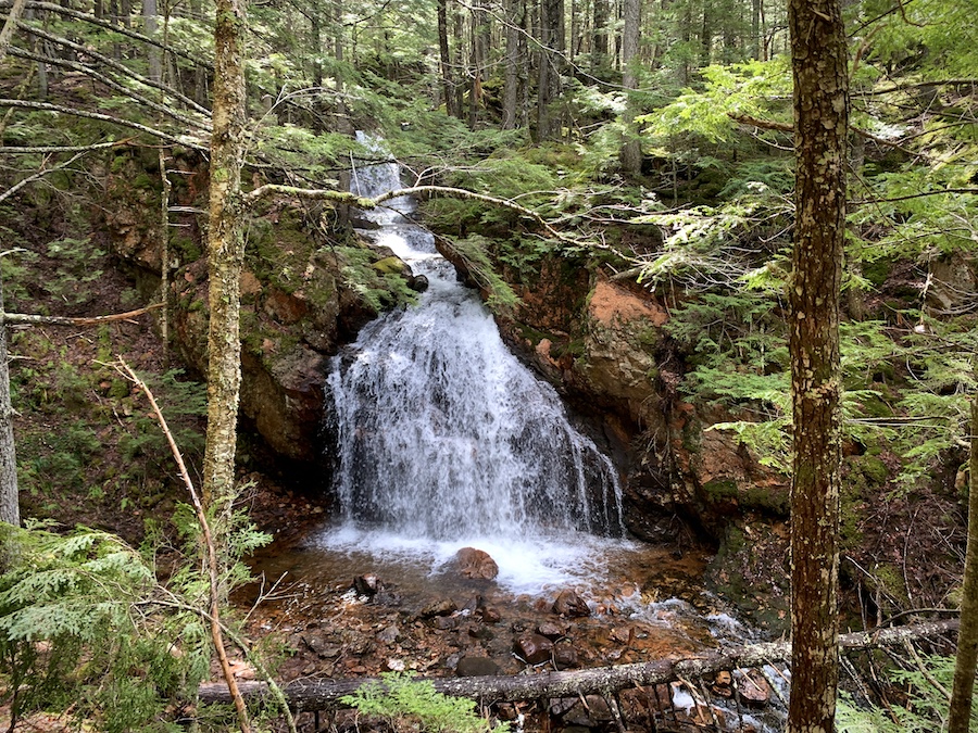
Being so close together, these waterfalls are certainly worth visiting. Hikers can easily experience the beauty of several waterfalls in a relatively short amount of time.
As we began our way back to the trailhead, we walked away from the brook to the defined trail. Making our way uphill and upstream, we reconnected with the bridge. We proceeded to follow the same path that brought us to these gorgeous falls, happy with completing another excellent hike in our home province of Nova Scotia!
Checklists And Recommended Gear
The following is our recommended gear for the Horse Pasture Falls hike.
- Water bottle
- Hiking Shoes – Women’s // Men’s
- Camera/Phone to take photos
- Sunscreen
- Hat
- Insect repellent
- Cascade hiking poles
- Atlantick tick removal tool kit
Related Hikes
WATERFALLS IN NOVA SCOTIA
- Baxters Harbour Falls & Black Hole Falls (Baxters Harbour, Nova Scotia)
- Liscomb River Trail (Liscomb Mills, Nova Scotia)
- Victoria Park (Truro, Nova Scotia)
- Phantom Falls (Fantum Falls) (Nova Scotia, Canada)
- Dawson Brook Falls (Ellershouse, Nova Scotia)
- Uisge Ban Falls (Cape Breton, Nova Scotia)
- Fairy Hole (Cape Dauphin, Nova Scotia)

